Alongside the Roubion river
- Distance3,4 km
- Duration50min
- TypeCircular
- DifficultyVery easy
- Total altitude change+ 20 m
- Departure/arrivalSaint-Gervais-sur-Roubion
- Route markingYes
A little stroll for everyone alongside the Roubion river. You can extend this hike with the Ramières stroll.
Starting point at the war memorial. Pass by the wine-cellar shop Les Vignerons de Valléon. Turn right, right after, on Avenue du Mont Roubion.
Walk on Chemin de la Moutette that turns into a large earthen path. Turn right in between the fields to reach the ramières (woods on the riverside).
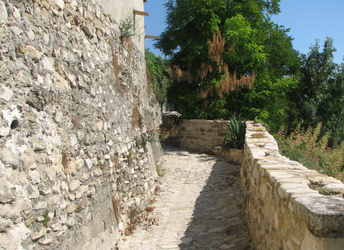
Turn right and hike up alongside the river. Visit the old village before getting back to the starting point.
- AddressPlace du Monument aux Morts
26160 Saint-Gervais-sur-Roubion - Phone04 75 01 00 20
- Emailinfo@montelimar-tourisme.com
- WebsiteSee the website
Drôme Tourisme cannot be held responsible for any problems encountered along the route.
Any problems encountered can be outlined here:
Author: Conseil Départemental de la Drôme - Apidae Tourisme
To show the map
0M
0M