Au fil de la rivière
Ajouter au carnet de voyage
- Distance1,5 km
- Duration45min
- TypeCircular
- DifficultyVery easy
- Total altitude change+ 20 m
- Departure/arrivalValdrôme
- Route markingYes
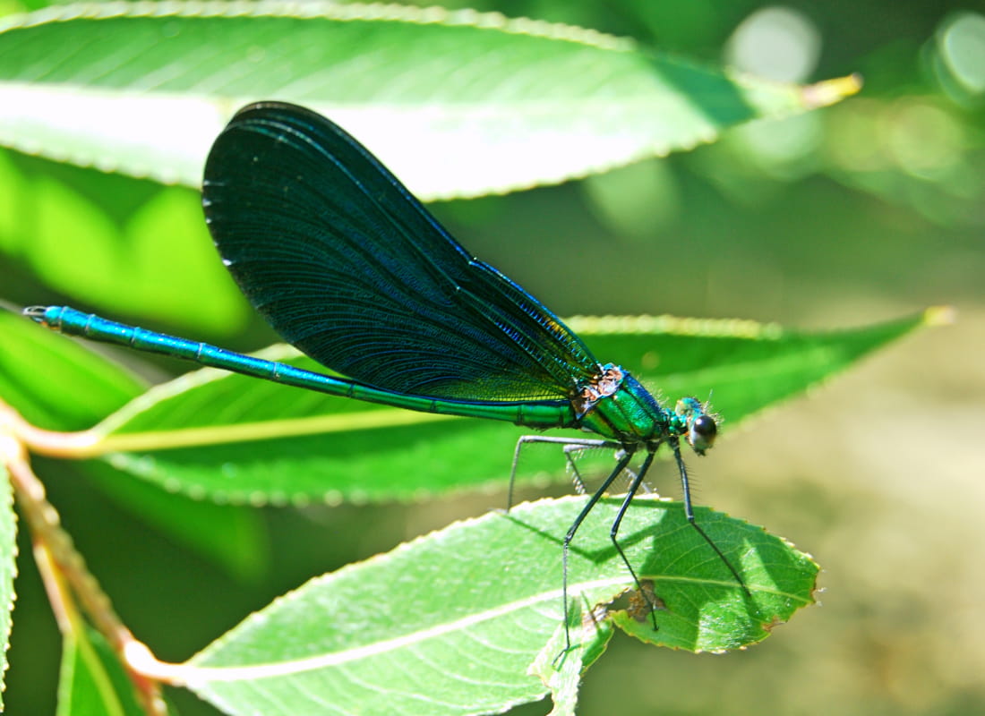
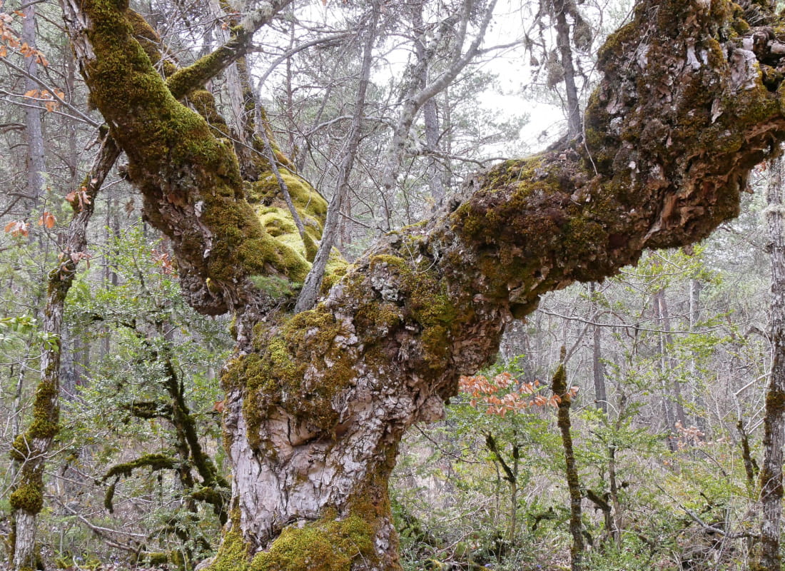
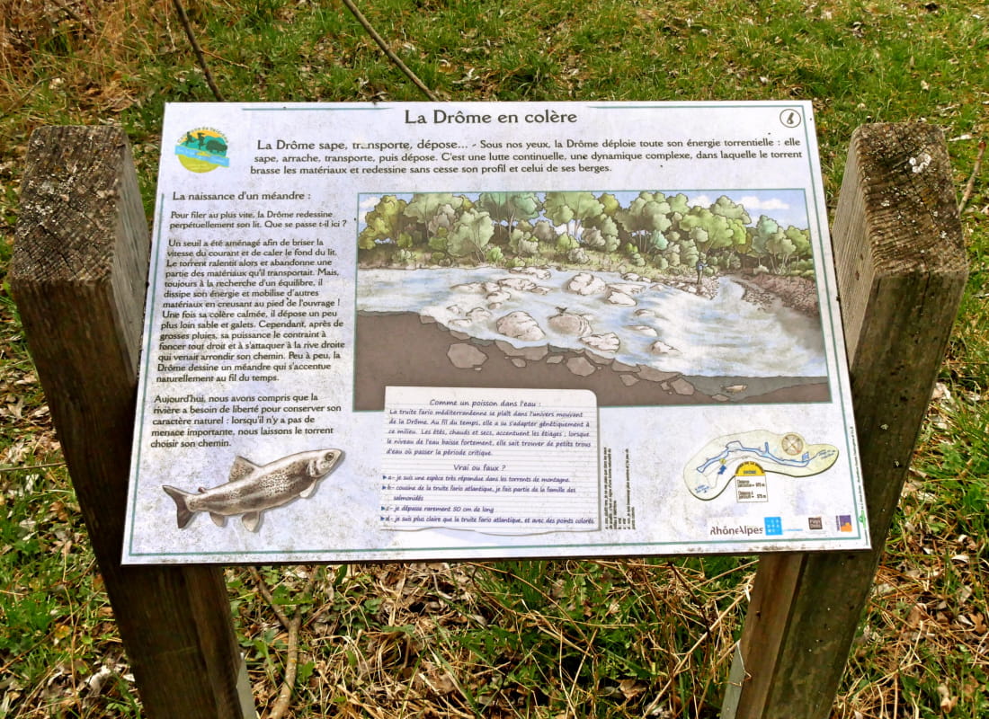
In the shade of the riverbanks, the whole family can learn about the ecosystem of one of Europe's last wild rivers at the interpretation desks on the trail that runs along its bed, using small footbridges linking the banks of the D...
- Address26310 Valdrôme
- Phone04 75 22 03 03
- Emailcontact@diois-tourisme.com
- WebsiteSee the website
Our tips
- Details about route marking :
Balisage jaune (PR) et poteaux de signalétique directionnelle - Map references :
OT 25 IGN 3238
Drôme Tourisme cannot be held responsible for any problems encountered along the route.
Any problems encountered can be outlined here:
Author: Conseil Départemental de la Drôme - Apidae Tourisme
To show the map
0M
0M