Balade au-delà du Buëch
Ajouter au carnet de voyage
- Distance2,9 km
- Duration1h
- TypeCircular
- DifficultyVery easy
- Total altitude change+ 50 m
- Departure/arrivalLus-la-Croix-Haute
- Route markingYes
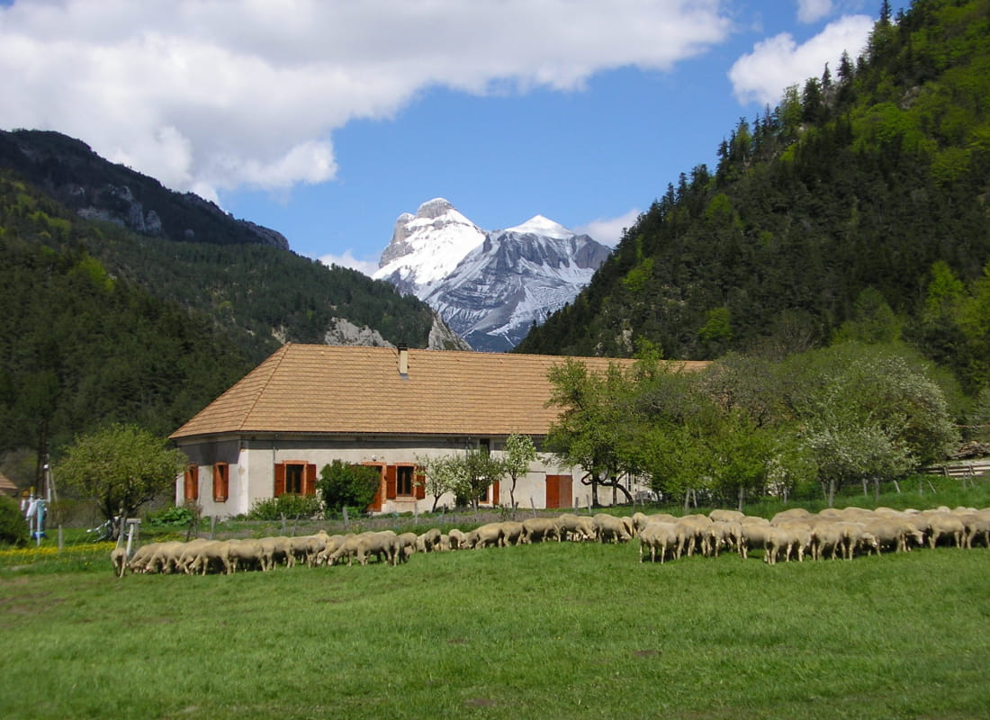
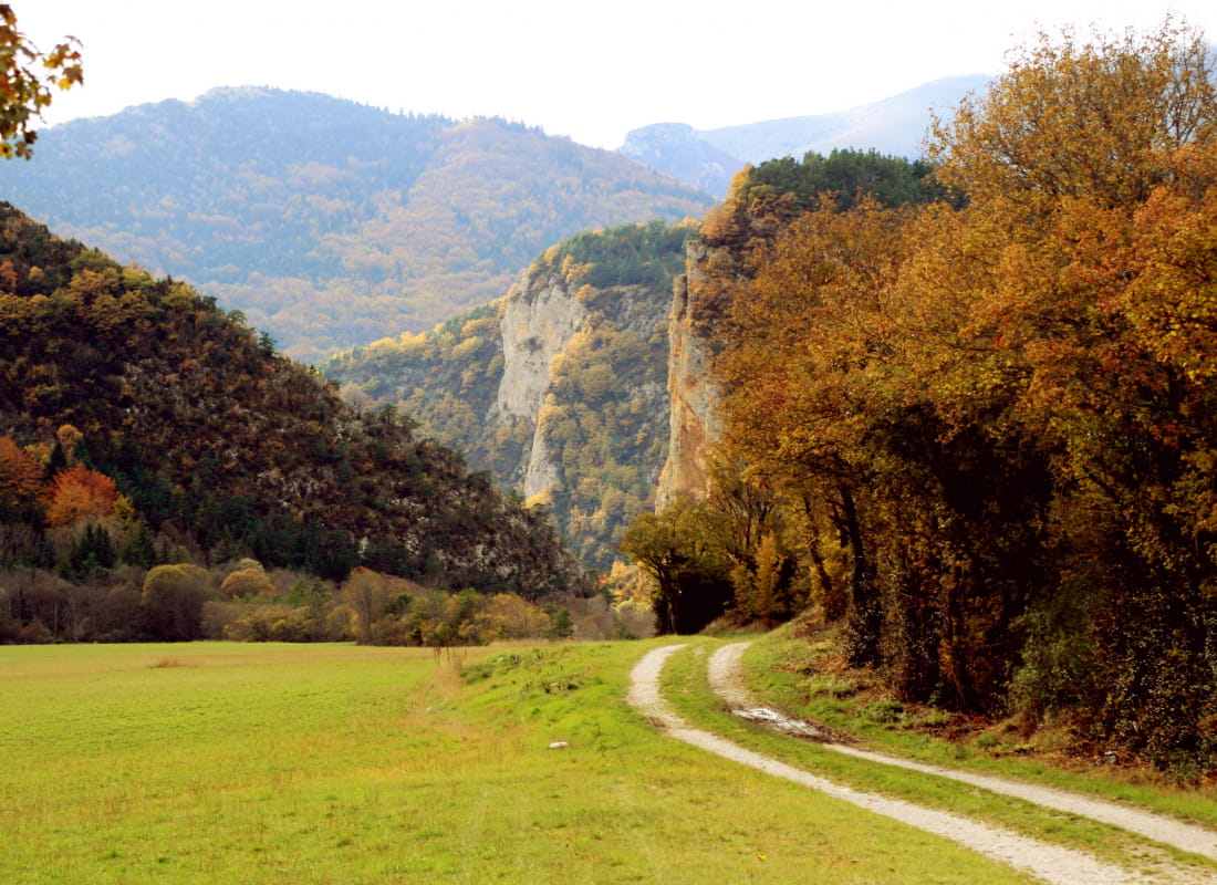
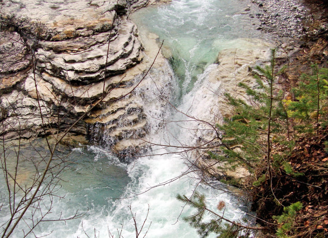
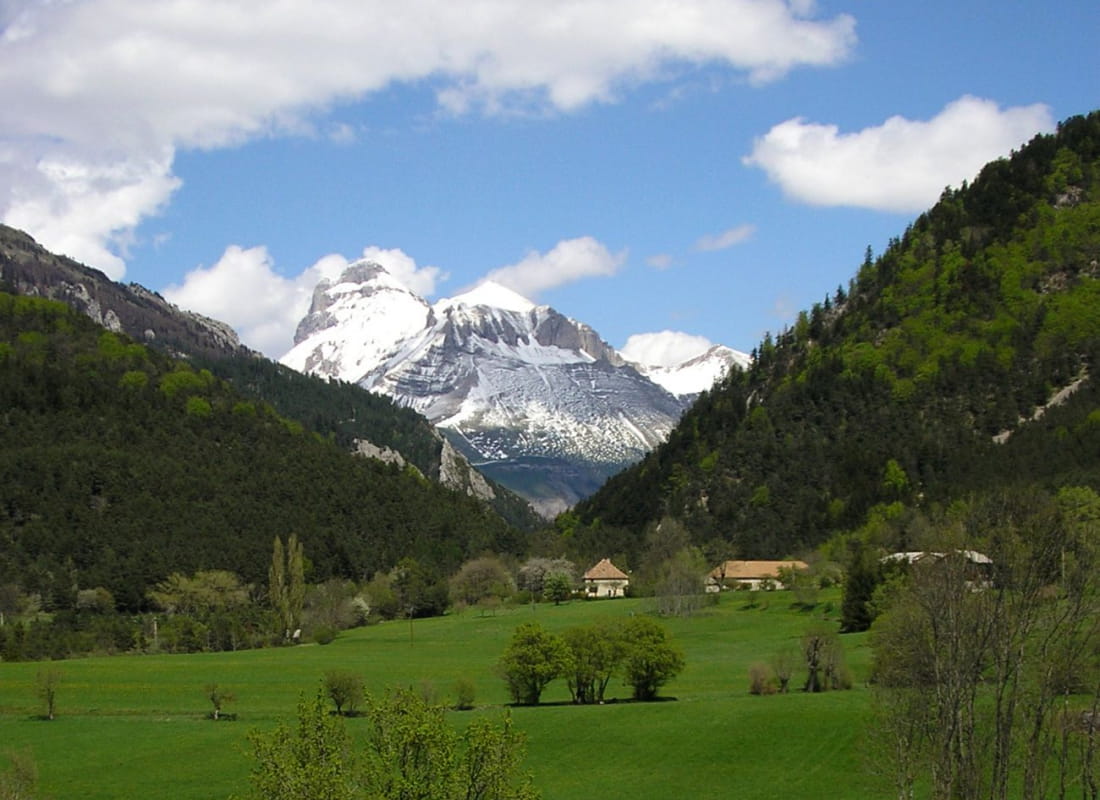
A short family stroll along the banks of the Buëch, punctuated by fields where cows and sheep graze depending on the season, and passing through 3 traditional hamlets....
- AddressParking du Pont du Trabuëch
Route de la Jarjatte
26620 Lus-la-Croix-Haute - Phone04 92 58 51 85
- Emailluslacroixhaute@diois-tourisme.com
- WebsiteSee the website
Our tips
- Details about route marking :
Balisage jaune et vert (PR) et poteaux de signalétique directionnelle. - Map references :
TOP 25 IGN 3237
Drôme Tourisme cannot be held responsible for any problems encountered along the route.
Any problems encountered can be outlined here:
Author: Conseil Départemental de la Drôme - Apidae Tourisme
To show the map
0M
0M