Baron and old village
- Distance10,4 km
- Duration3h21
- TypeCircular
- DifficultyDifficult
- Total altitude change+ 340 m
- Departure/arrivalRoynac
- Route markingYes
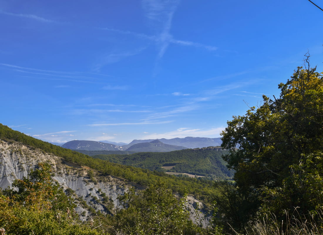
This itinerary invites you to immerse into nature with a detour inside the old town of Roynac. Splendid viewpoint over the Vladaine plains.
Starting point at Roynac village. Walk up alongside the church and the main road. Follow the pavement, then the grass.Take the first road on the right called Chemin de Beriane. Follow the road until you reach the hamlet.
800 metres later, turn left on Chemin de la Rochette. Turn right 200 metres later, the path is on the right.
Climb up and follow the lavender field by its left side. Follow the path to the edge of the forest and reach the crest.
Turn left and follow the path in the undergrowth forest. Take the left then left again. Cross the forest until you reach a field: continue straight. Turn left at the road between houses. Walk 300 metres then turn left at an old oak tree.Turn right at the first junction.
At the end of the climb, turn right and follow a curvy path. At the Courbière pol, turn left and follow the road during 500 metres.
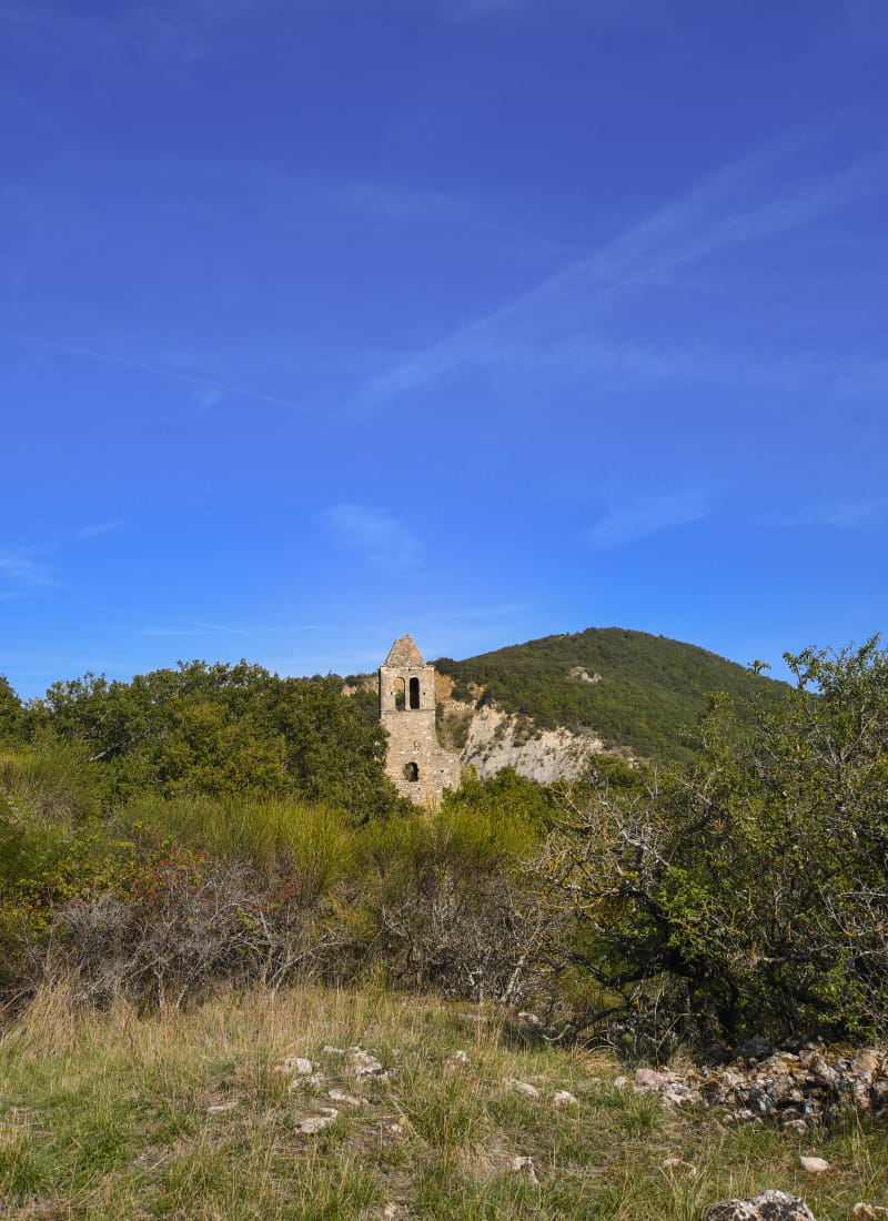
Then take a small descending path and turn right to reach the old village, uphill.
Get back to the track and reach the road. Go back to the starting point.
- AddressVillage
26450 Roynac - Phone04 75 01 00 20
- Emailinfo@montelimar-tourisme.com
- WebsiteSee the website
Drôme Tourisme cannot be held responsible for any problems encountered along the route.
Any problems encountered can be outlined here:
Author: Conseil Départemental de la Drôme - Apidae Tourisme