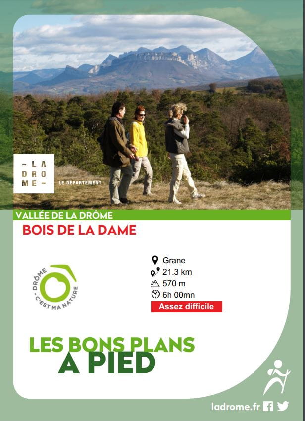
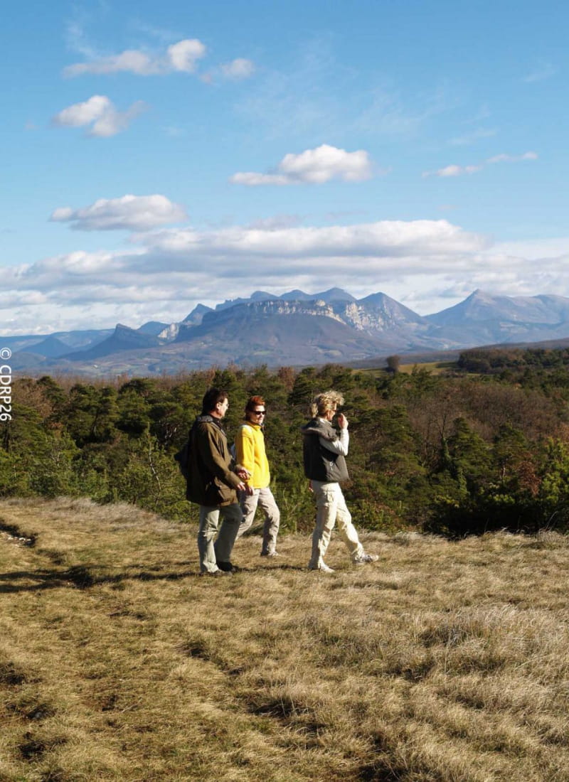
Bois de la Dame
Ajouter au carnet de voyage
- Distance21,3 km
- Duration6h
- TypeCircular
- DifficultyVery difficult
- Total altitude change+ 570 m
- Departure/arrivalGrane
- Route markingYes
From the Bois de la Dame, formerly owned by the Poitiers family, to the Pierre Sanglante, on the boundary of three cantons, you'll enjoy an unusual view of the western part of the perched Saoû syncline.
- AddressPlace du Champ de Mars
26400 Grane - Phone04 75 63 10 88
- Emailotvaldedrome@gmail.com
Our tips
- Details about route marking :
Balisage jaune - Références topographiques :
La Vallée de la Drôme à pied
Drôme Tourisme cannot be held responsible for any problems encountered along the route.
Any problems encountered can be outlined here:
Author: Conseil Départemental de la Drôme - Apidae Tourisme
To show the map
0M
0M