Bois de Lion and Jabron
- Distance10,5 km
- Duration2h41
- TypeCircular
- DifficultyModerate
- Total altitude change+ 100 m
- Departure/arrivalMontboucher-sur-Jabron
- Route markingYes
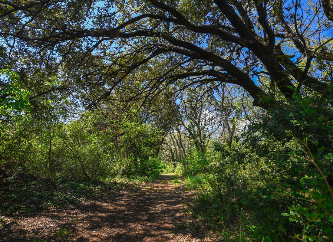
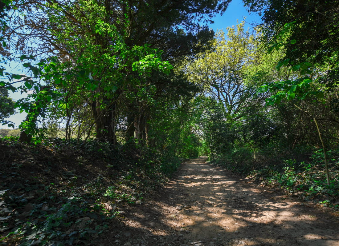
Walk across the Bois de Lion before wandering alongside the Jabron riverside. This hike is pleasant and for everyone!
From the car park, get to the town hall on the left then continue on Rue Gabriel, then Léon Demarre. At the junction, keep rue on Rue des Echaumes and go down the road.
Take the earthen path, 700 metres further on a turn. Turn left at the junction, and left at the next. The path climbs on Chemin de Margerie à Montboucher.
Turn right and follow the ascending road. Continue straight and take the earthen track at the right that joins the BMX track. Walk on the right side of the track. Walk alongside the field than enter the forest. Follow the main track. When reaching a viewpoint, go down and continue straight to reach a climb that leads to the road.
Turn left on the road and take a little track alonside the weather station. Go down Chemin de Margerie until you join a roundabout. Cross it and take the walking and cycling path.
Continue straigth until Montboucher-sur-Jabron. Take Chemin du Jabron and cross the road. Continue on Chemin de la Gare. Turn right at the graveyard on a stoney path, then left on Chemin des Vignes.
Go back to the starting point.
- AddressParking de la Mairie
26740 Montboucher-sur-Jabron - Phone04 75 01 00 20
- Emailinfo@montelimar-tourisme.com
- WebsiteSee the website
Drôme Tourisme cannot be held responsible for any problems encountered along the route.
Any problems encountered can be outlined here:
Author: Conseil Départemental de la Drôme - Apidae Tourisme