Borne Rousse and Grand Travers
- Distance10,5 km
- Duration3h18
- TypeCircular
- DifficultyDifficult
- Total altitude change+ 370 m
- Departure/arrivalCondillac
- Route markingYes
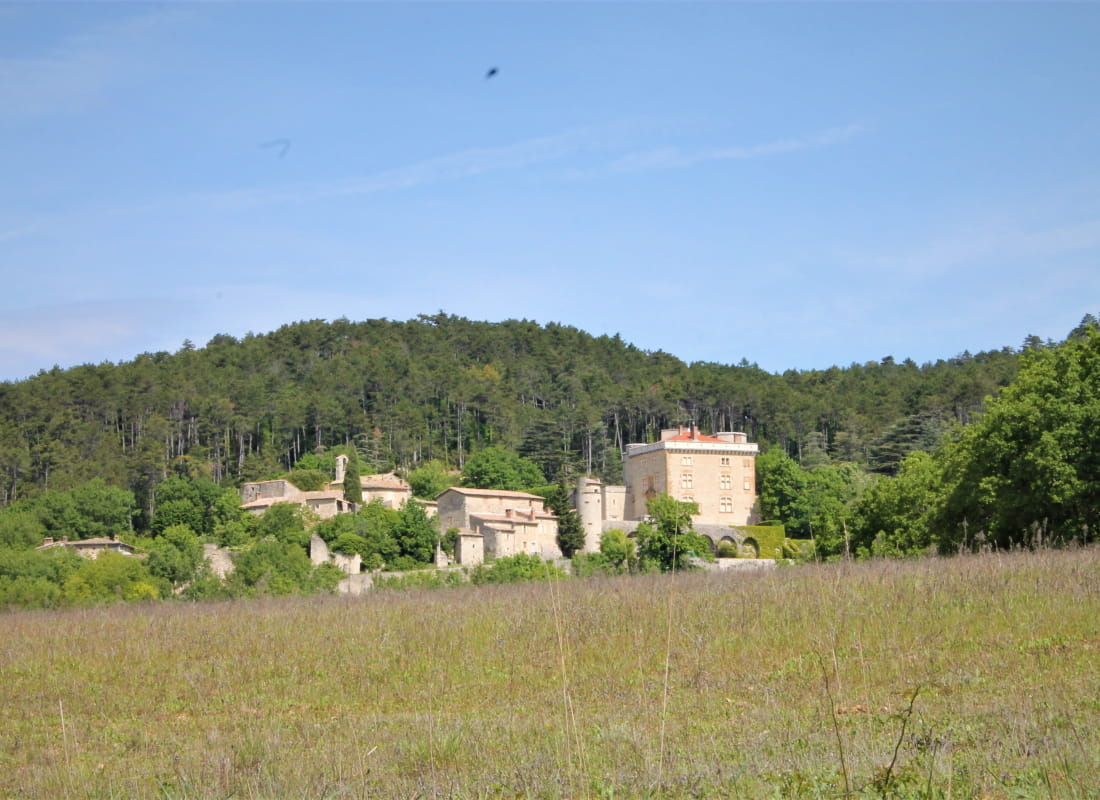
Garrigue, green oaks, pine trees, beech woods... Walk across the different faces of the forest and enjoy the splendid sunset from the summit.
Starting point at Chemin de Béraud.
Walk alongside the road heading towards the forest and houses. Turn left on the climbing path next to a house.
Turn right at the first junction then left and finally right at the other junction.
Walk up on the left at the clearing. Continue straight and enjoy the viewpoint. Join Borne Rousse on the left. Lookout on the Rhône valley.
Continue straight on the crest, on a path parallel to the forest track. At Gros Fayard, turn left then left again at the junction. At Papillère pass, stay on the left on the descending path.
On the forest path, walk down and follow the road.
Find the starting point.
- AddressChemin de Béraud
26740 Condillac - Phone04 75 01 00 20
- Emailinfo@montelimar-tourisme.com
- WebsiteSee the website
Drôme Tourisme cannot be held responsible for any problems encountered along the route.
Any problems encountered can be outlined here:
Author: Conseil Départemental de la Drôme - Apidae Tourisme