Circuit - Serre des Aigles
- Distance14,9 km
- Duration4h44
- DifficultyVery difficult
- Total altitude change+ 400 m
- Departure/arrivalAouste-sur-Sye
- Route markingYes
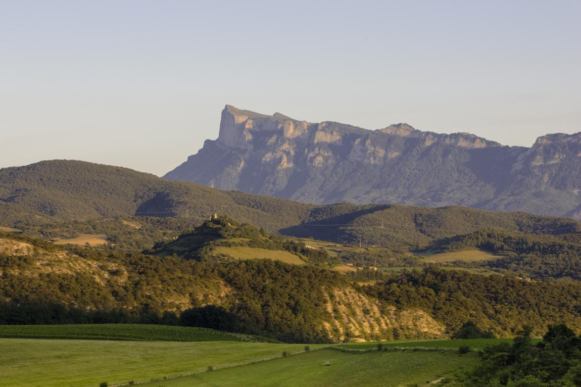
This hike through varied landscapes (ridges, vineyards, forests...) offers remarkable panoramas of the Vercors and a privileged view of the perched syncline of Saoû.
- Addressparking de la mairie d'Aouste sur Sye
26400 Aouste-sur-Sye - Phone04 75 25 11 38
- WebsiteSee the website
Drôme Tourisme cannot be held responsible for any problems encountered along the route.
Any problems encountered can be outlined here:
Author: Conseil Départemental de la Drôme - Apidae Tourisme
To show the map
0M
0M