Col de Vesc - Cime des Ventes
Ajouter au carnet de voyage
- Distance10,5 km
- Duration4h
- TypeCircular
- DifficultyDifficult
- Total altitude change+ 470 m
- Departure/arrivalComps
- Route markingYes
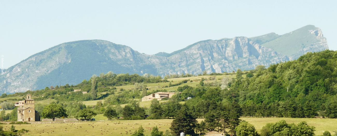
Following a figure-of-eight route, the loop offers superb views over the warm Comps countryside. The 2nd part of the route is steeper and more difficult, but the panorama from Les Ventes is well worth the effort.
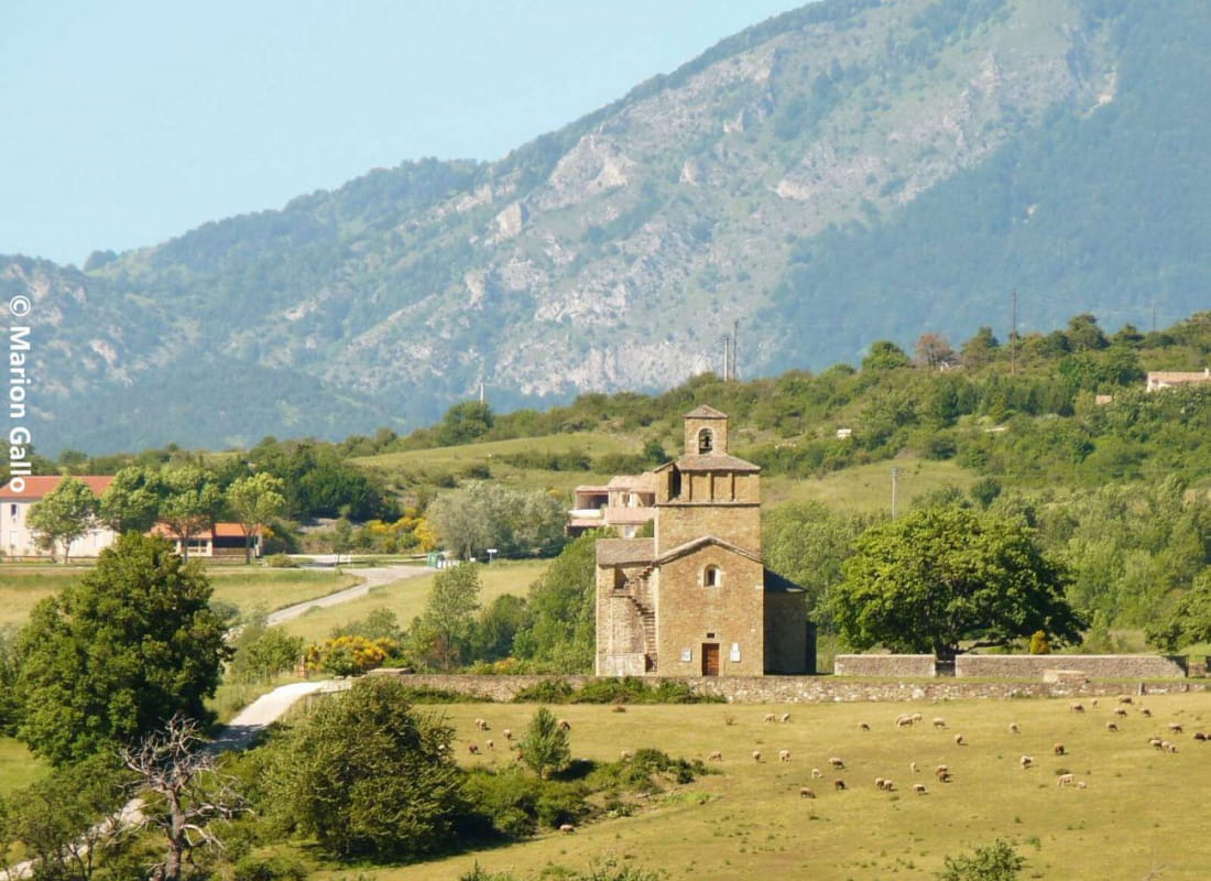
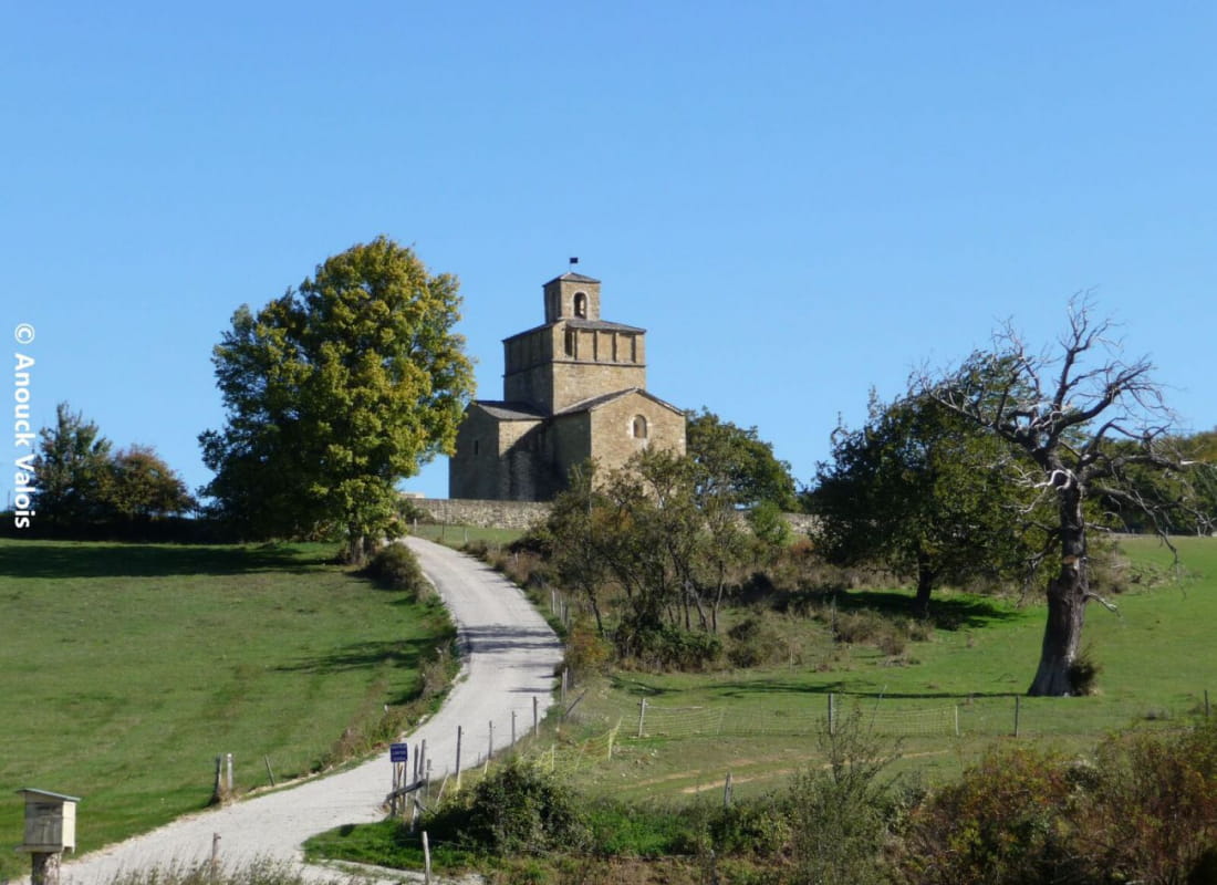
- AddressEglise de Comps
26220 Comps - Phone04 75 46 42 49
- WebsiteSee the website
Our tips
- Details about route marking :
GR9 (rouge et blanc) et PR (jaune)
Drôme Tourisme cannot be held responsible for any problems encountered along the route.
Any problems encountered can be outlined here:
Author: Conseil Départemental de la Drôme - Apidae Tourisme
To show the map
0M
0M