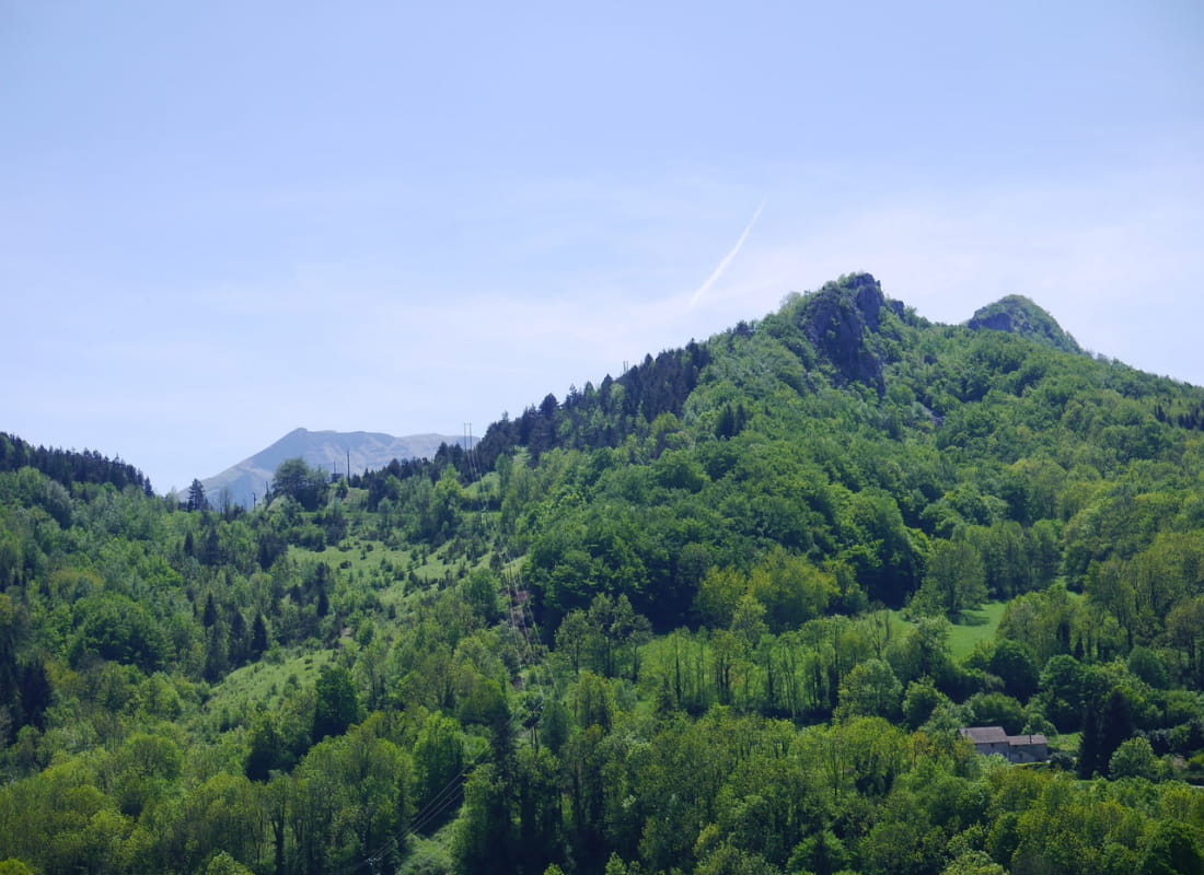
Col du Maupas
Ajouter au carnet de voyage
- Distance7,1 km
- Duration2h30
- DifficultyModerate
- Total altitude change+ 211 m
- Departure/arrivalLa Chapelle-en-Vercors
- Route markingYes
Around the Sacha mountain, this walk reveals two faces of the Vercors landscape. At the Col de Maupas, the view extends over the Combe de l'Oscence and the more open environment supports lower vegetation.
- Address26420 La Chapelle-en-Vercors
- Phone04 75 48 22 54
- WebsiteSee the website
Drôme Tourisme cannot be held responsible for any problems encountered along the route.
Any problems encountered can be outlined here:
Author: Conseil Départemental de la Drôme - Apidae Tourisme
To show the map
0M
0M