En amont des rivieres
Ajouter au carnet de voyage
- Distance14,4 km
- Duration4h35
- DifficultyDifficult
- Total altitude change+ 410 m
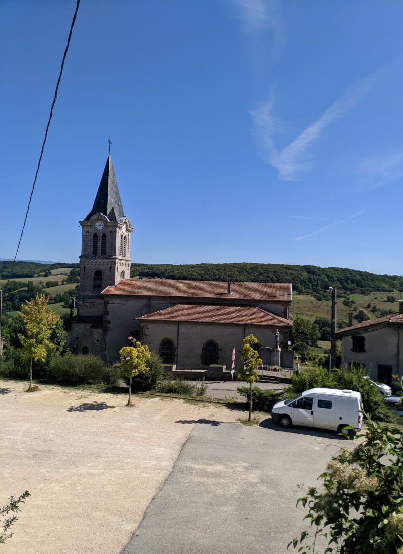
- Departure/arrivalValherbasse
- Route markingYes
This very hilly route passes from hill to hill and stream to stream. The second part, on pretty little roads, offers beautiful panoramic views of the Vercors and surrounding valleys.
- AddressDépart du parking au centre du village
26350 Valherbasse - Phone04 75 02 28 72
Drôme Tourisme cannot be held responsible for any problems encountered along the route.
Any problems encountered can be outlined here:
Author: Conseil Départemental de la Drôme - Apidae Tourisme
To show the map
0M
0M