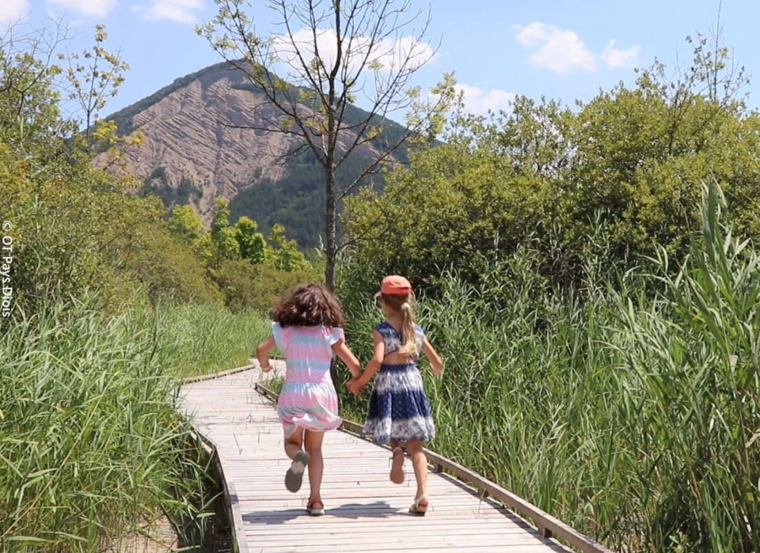
En chemin vers les Bouligons
Ajouter au carnet de voyage
- Distance11 km
- Duration3h30
- TypeOutward and return
- DifficultyModerate
- Total altitude change+ 270 m
- Departure/arrivalBeaurières
- Route markingYes
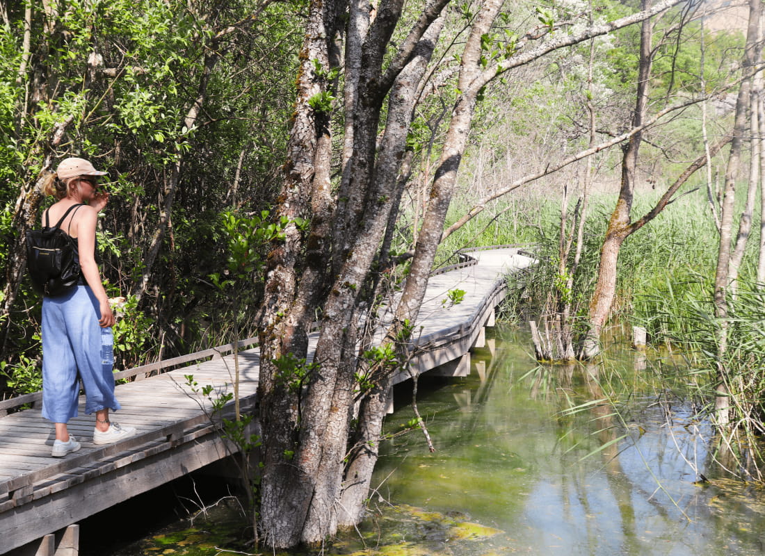
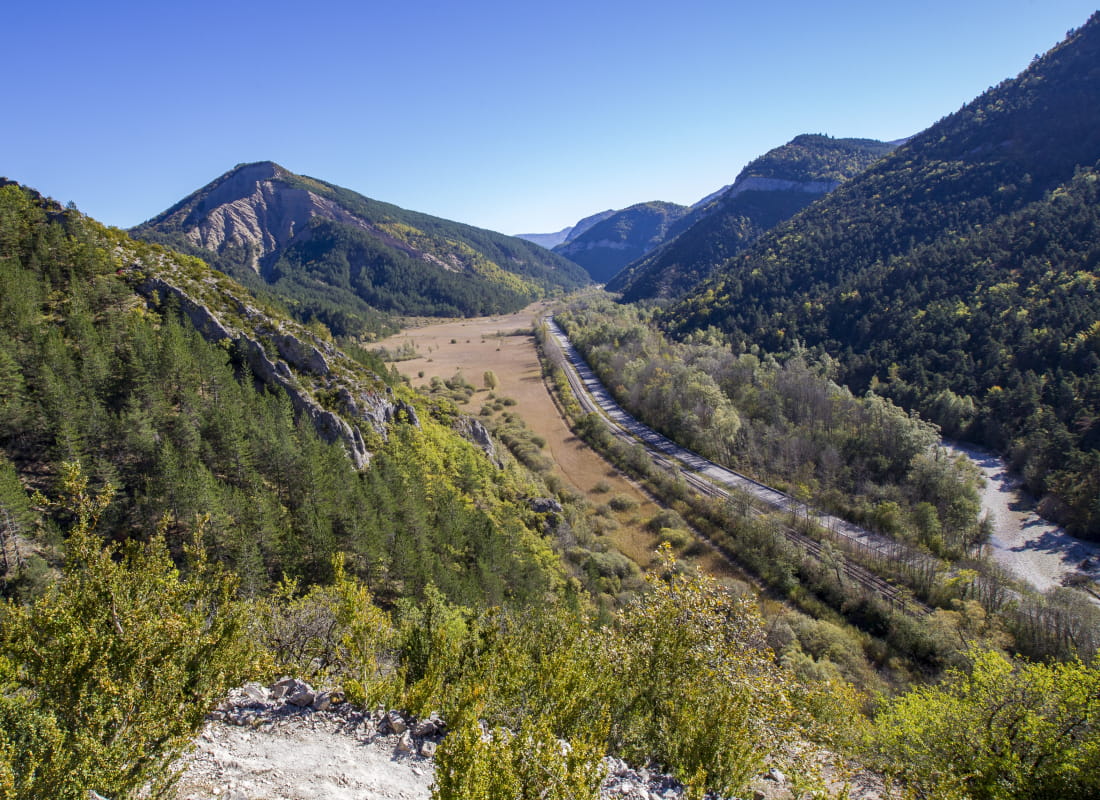
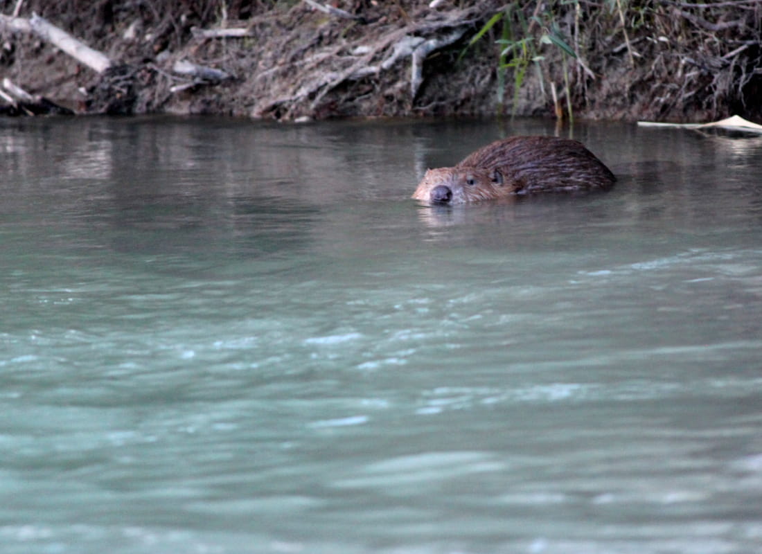
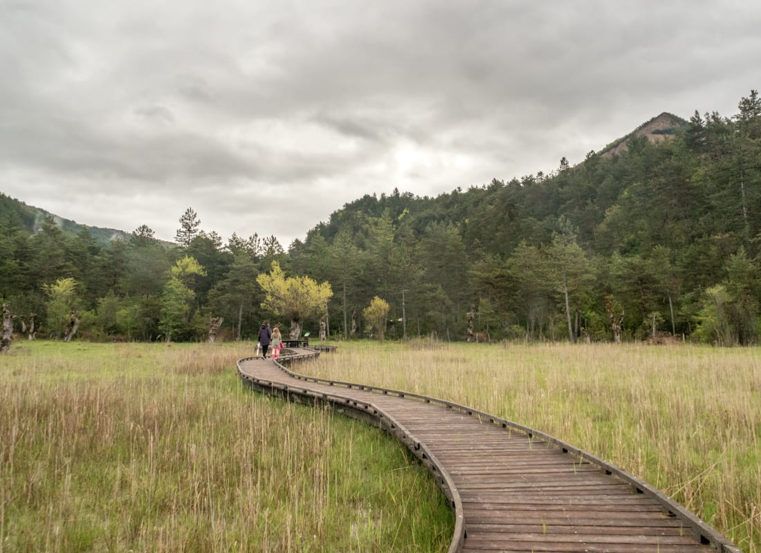
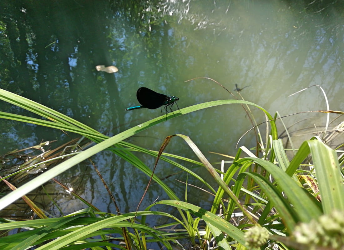
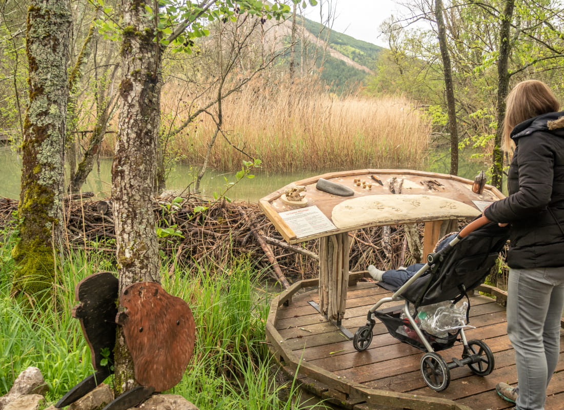
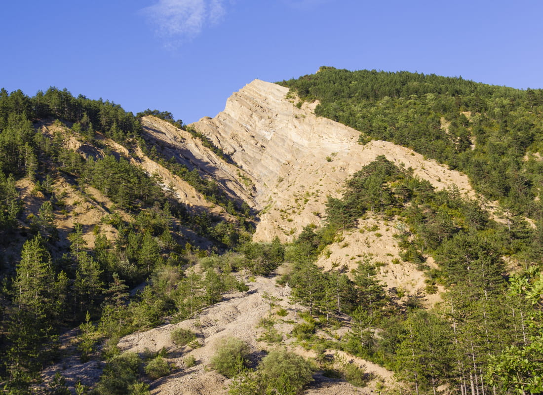
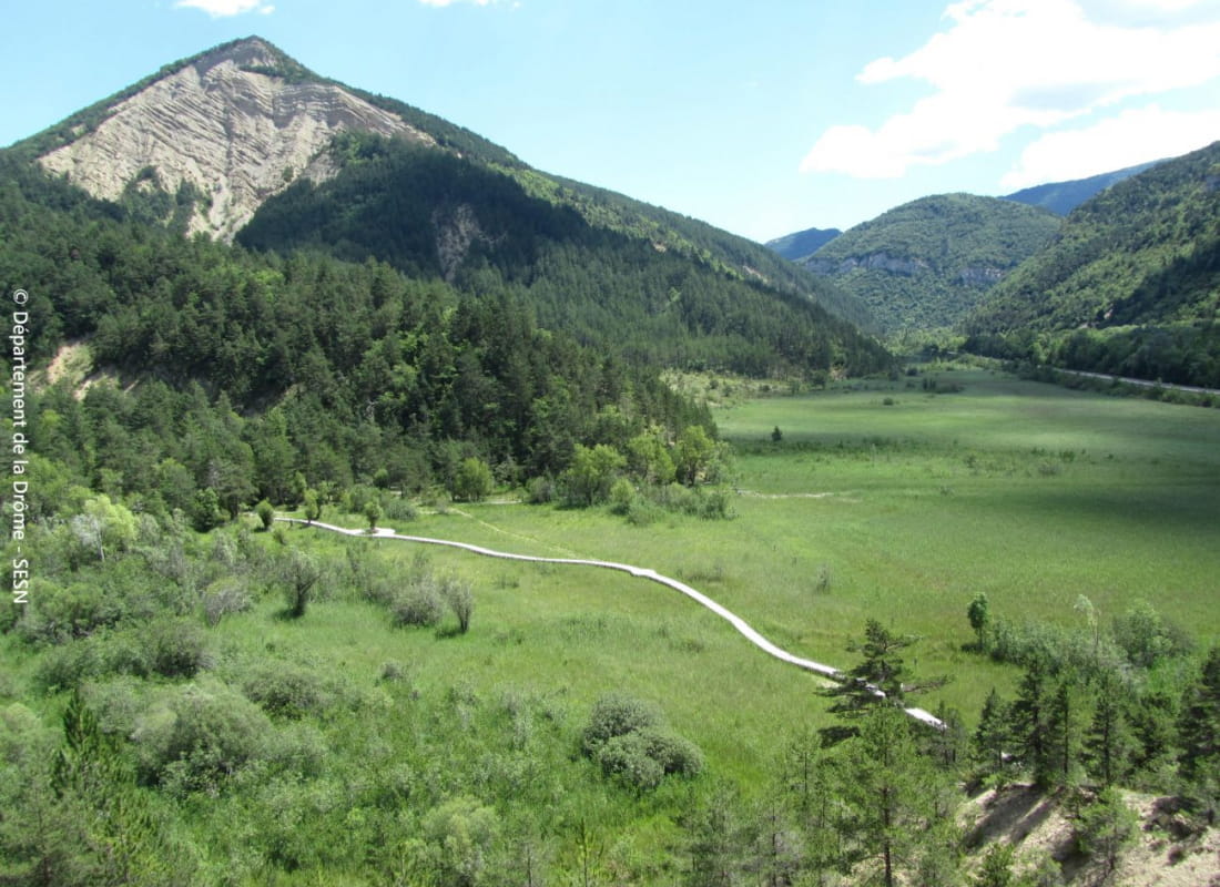
A walk in the upper Drôme valley under the sign of water, linking the village to the department's largest wetland through fragrant pinewoods and curious marls, which you can discover with dry feet without disturbing its fragile f...
- Address26310 Beaurières
- Phone04 75 22 03 03
- Emailcontact@diois-tourisme.com
- WebsiteSee the website
Our tips
- Details about route marking :
Balisage jaune (PR) et poteaux de signalétique directionnelle. - Références topographiques :
Topoguide "Le Diois à pied - Aux sources de la Drôme" de la Fédération Française de Randonnée. - Map references :
TOP 25 IGN 3238
Drôme Tourisme cannot be held responsible for any problems encountered along the route.
Any problems encountered can be outlined here:
Author: Conseil Départemental de la Drôme - Apidae Tourisme
To show the map
0M
0M