From Moutette to Saint-Rome
- Distance10,2 km
- Duration3h15
- DifficultyModerate
- Total altitude change+ 110 m
- Departure/arrivalSaint-Gervais-sur-Roubion
- Route markingYes
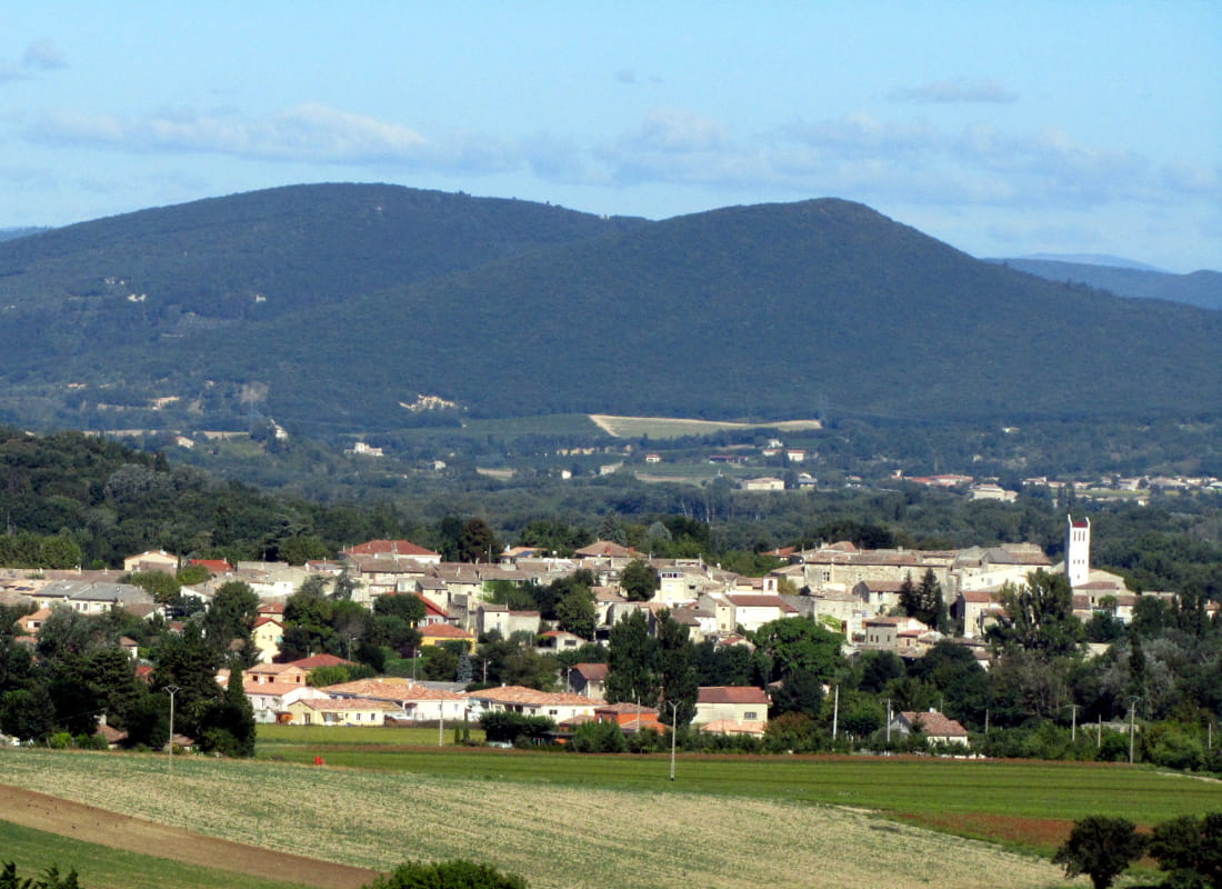
Go and discover the thriving Valdaine plains. Then come back alongside the Roubion riparian forest and its ramière. Before leaving, take your time and wander in the tiny streets of the fortified village of Saint-Gervais-sur-Roubion.
From the carpark, go past the Cave des Vignerons de Valléon and turn right on the Avenue du Mont Roubion.
At the end of the street, turn left on Chemin du Mont Barral. The path crosses the housing estate. At its top, follow the Chemin du Gouvernay on the left then reach the junction.
Walk straight to the Chemin de la Furalade. Go to the Departmental Road et take the first road to the right. At the end of the road, turn left to take the main road again. Cross it and reach, a few meters away, the Costardin road on the right.
Take the second road to the left: Chemin de Famone. Overtake the house and turn left 200 meters further. Walk alongside the fields, then the Saint-Rome chapel by keeping the right side.
Take the Chemin de la Lauze and keep it until you reach the Departmental Road. Cross it with caution and the undergrowth path that goes down to the ramière and walk alongside the stadium.
Reach back to the starting point.
- AddressPlace du Monument aux Morts
26160 Saint-Gervais-sur-Roubion - Phone04 75 01 00 20
- Emailinfo@montelimar-tourisme.com
- WebsiteSee the website
- But also
Drôme Tourisme cannot be held responsible for any problems encountered along the route.
Any problems encountered can be outlined here:
Author: Conseil Départemental de la Drôme - Apidae Tourisme