GR 965 Sur les pas des Huguenots (étape 7)
Ajouter au carnet de voyage
- Distance11 km
- Duration4h3
- TypeOutward only
- DifficultyDifficult
- Total altitude change+ 880 m
- Departure/arrivalDie
- Route markingYes
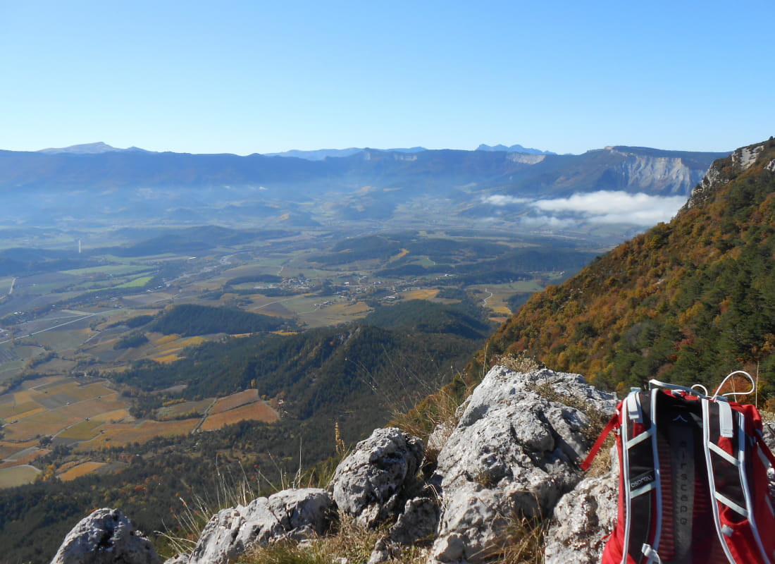
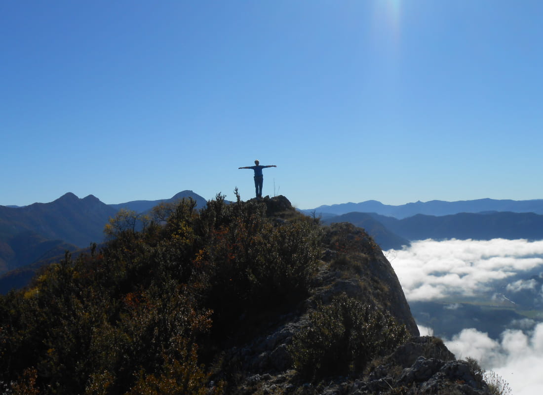
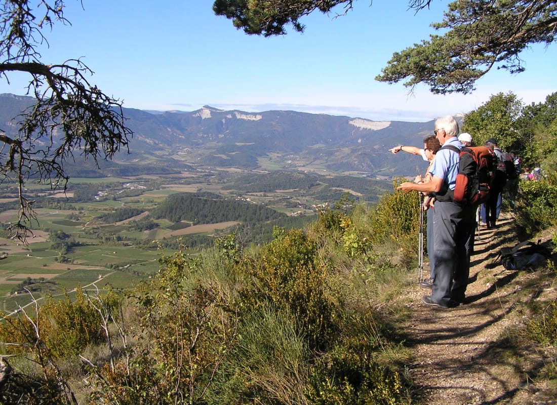
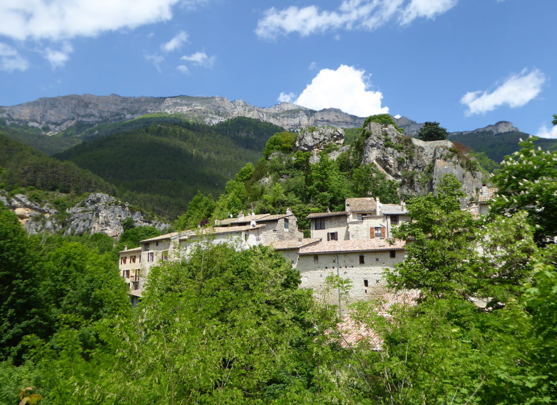
From Valcroissant to Châtillon-en-Diois, starting from the listed abbey, cross two passes in the foothills of the Vercors to enjoy beautiful views of the medieval village.
- Address26150 Die
- Phone04 75 22 03 03
- Emailcontact@diois-tourisme.com
- WebsiteSee the website
Our tips
- Références topographiques :
Itinéraire Culturel Européen SUR LES PAS DES HUGUENOTS - Map references :
TOP IGN 3237
Drôme Tourisme cannot be held responsible for any problems encountered along the route.
Any problems encountered can be outlined here:
Author: Conseil Départemental de la Drôme - Apidae Tourisme
To show the map
0M
0M