PressAs a group
Pedestrian sports - Hiking itinerary

GR 965 Sur les pas des Huguenots (étape 8)

  • Distance11,9 km
  • Duration4h26
  • TypeOutward only
  • DifficultyVery difficult
  • Total altitude change+ 1151 m
  • Departure/arrivalChâtillon-en-Diois
  • Route markingYes

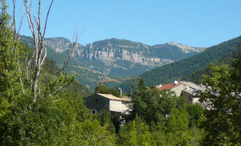
From Châtillon-en-Diois to Les Nonières, leave the medieval village via the Giono forest, then take the pleasant Glandasse balcony path to the Haut diois viewpoint at Bénevise.

Our tips

  • Références topographiques :
    Itinéraire Culturel Européen SUR LES PAS DES HUGUENOTS
  • Map references :
    TOp IGN 3237

To see the GPX, download the application

  • Exemple sur Android : Ici
  • Exemple sur IOS : Ici
  • Find the GPX viewer: here Ici

Drôme Tourisme cannot be held responsible for any problems encountered along the route. 

Any problems encountered can be outlined here:

Suricate


Author: Conseil Départemental de la Drôme - Apidae Tourisme

To show the map
0M
0M
Your travel journal is empty. Add places or events to download here.
Download my travel diary
Empty