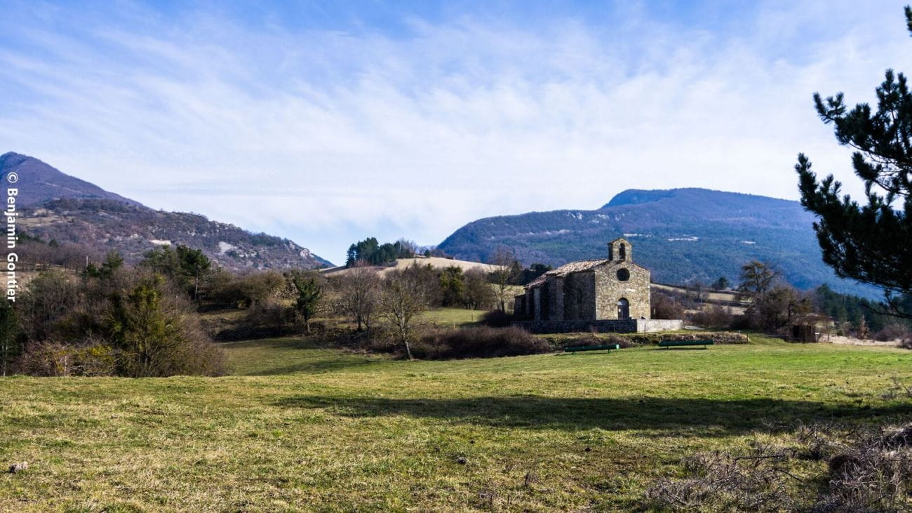
La chapelle Saint-Jean
Ajouter au carnet de voyage
- Distance5,8 km
- Duration1h45
- TypeCircular
- DifficultyVery easy
- Total altitude change+ 120 m
- Departure/arrivalBourdeaux
- Route markingYes
The commune of Crupies marks the end of the Roubion mountain range. Here, the river begins a long curve towards the west. This gentle course winds through landscapes bathed in the light of sunset.
Au début de la boucle, la rivière du Soubrion doit être traversée à gué (seul passage autorisé). Toutefois, si le niveau d’eau ne permet pas de traverser en toute sécurité, les propriétaires tolèrent le passage sur leur passerelle. Merci de respecter cette exception.
Départ , se garer au carrefour de la D70 et de la D195 (Route des Tonils).
- Address26460 Bourdeaux
- Phone04 75 53 35 90
- Emailvalerie.baudet@dieulefit-tourisme.com
- WebsiteSee the website
Our tips
- Difficult stretches :
IGN 3138 OT Dieulefit
Drôme Tourisme cannot be held responsible for any problems encountered along the route.
Any problems encountered can be outlined here:
Author: Conseil Départemental de la Drôme - Apidae Tourisme
To show the map
0M
0M