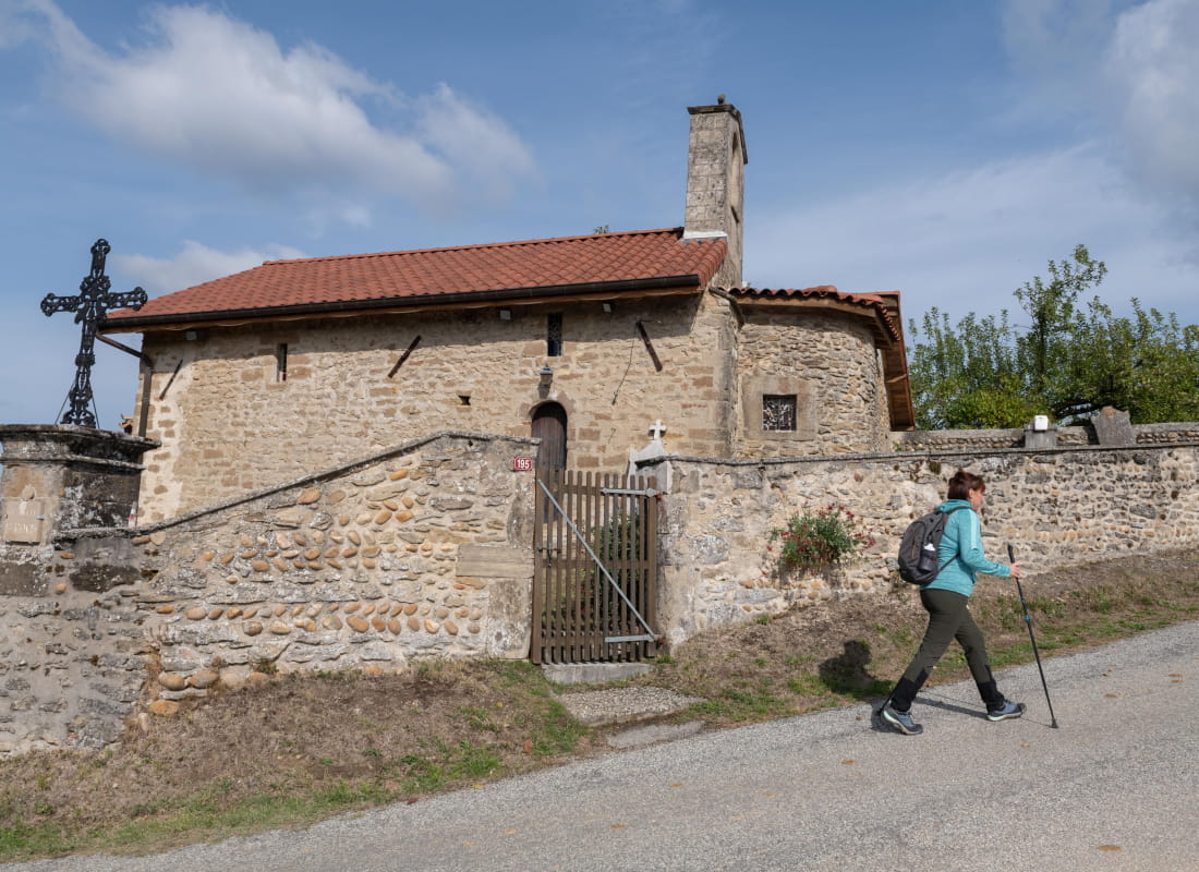
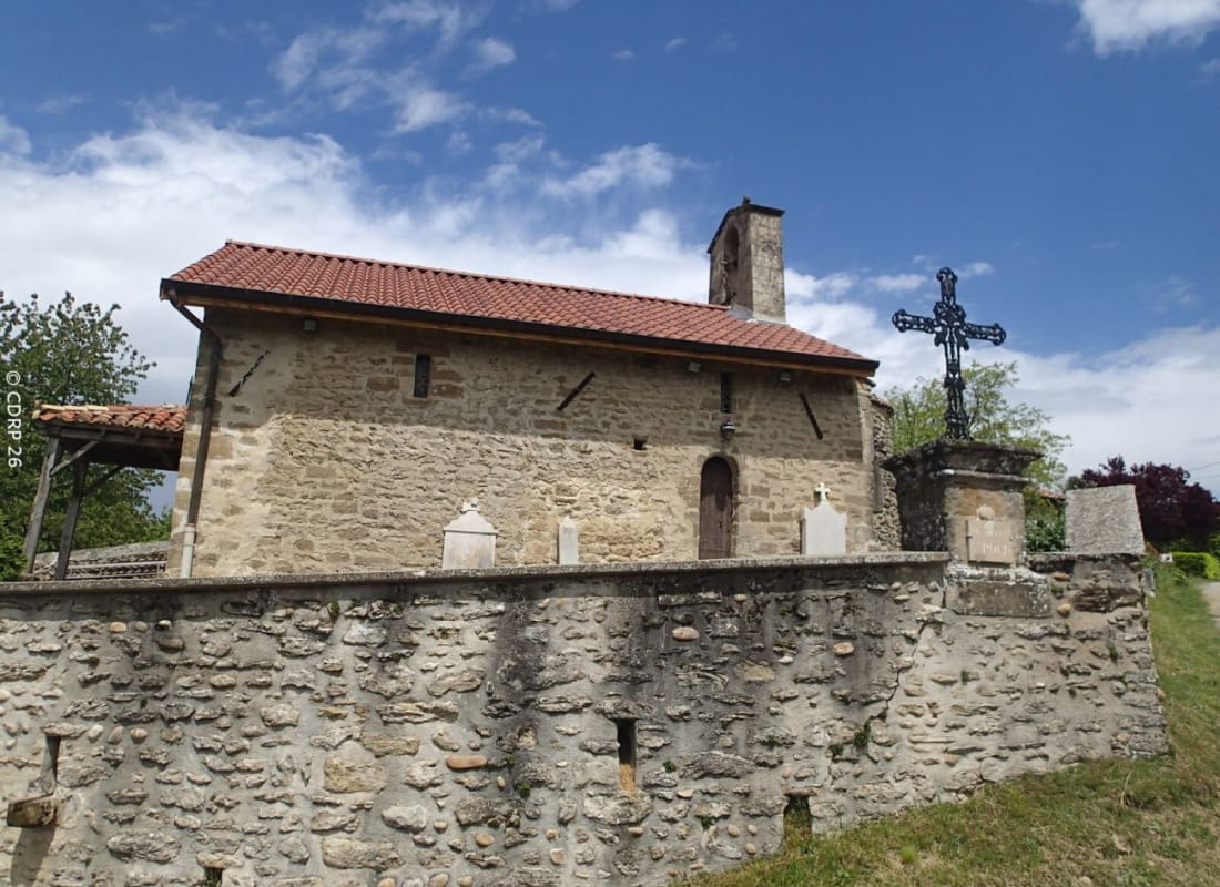
La chapelle Saint-Roch
Ajouter au carnet de voyage
- Distance11,2 km
- Duration3h
- TypeCircular
- DifficultyDifficult
- Total altitude change+ 350 m
- Departure/arrivalCrépol
- Route markingYes
This walk on the Crépol hilltops offers a breathtaking view of the whole Herbasse valley, the Ardèche, Chartreuse and even Mont-Blanc on a clear day.
- AddressCentre du village
26350 Crépol - Phone04 75 02 28 7204 75 44 90 40
- WebsiteSee the website
Our tips
- Details about route marking :
Balisage PR (panneaux jaunes) - Map references :
Partir avec la carte IGN 3135SB est vivement conseillé.
Drôme Tourisme cannot be held responsible for any problems encountered along the route.
Any problems encountered can be outlined here:
Author: Conseil Départemental de la Drôme - Apidae Tourisme
To show the map
0M
0M