La Draille des chèvres
Ajouter au carnet de voyage
- Distance6,4 km
- Duration2h30
- TypeCircular
- DifficultyModerate
- Total altitude change+ 380 m
- Departure/arrivalRochebaudin
- Route markingYes
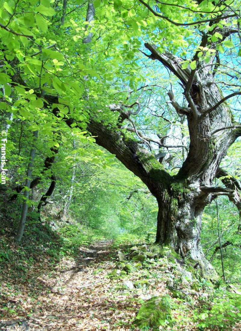
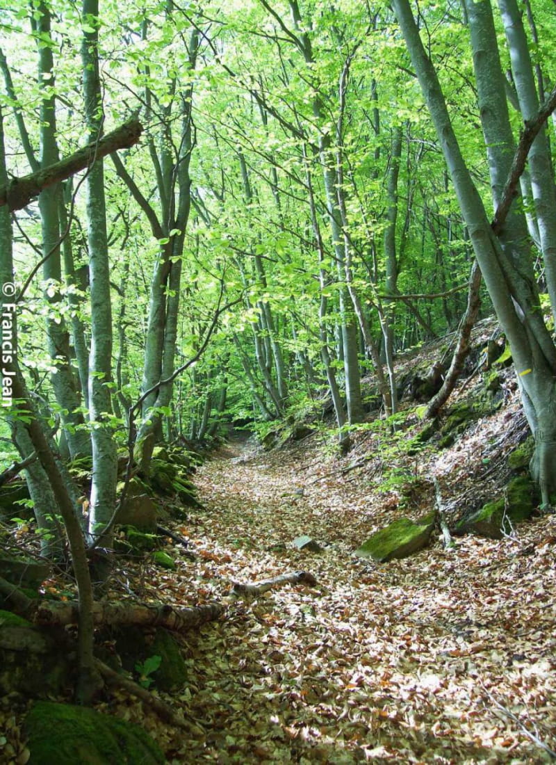
Between the founding rock of the village of Rochebaudin and the steep rock of the Tournelle, a varied forest spreads out. On the slopes of the Serre-Gros mountain, the drailles (transhumance paths) are numerous.
- AddressPlace du village
26160 Rochebaudin - Phone04 75 46 42 49
Our tips
- Details about route marking :
PR (jaune)
Drôme Tourisme cannot be held responsible for any problems encountered along the route.
Any problems encountered can be outlined here:
Author: Conseil Départemental de la Drôme - Apidae Tourisme
To show the map
0M
0M