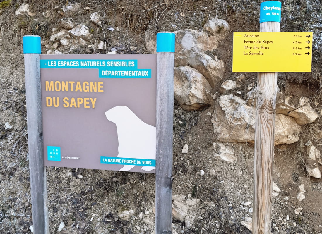
La montagne du Sapey
Ajouter au carnet de voyage
- Distance16,4 km
- Duration7h
- TypeCircular
- DifficultyVery difficult
- Total altitude change+ 850 m
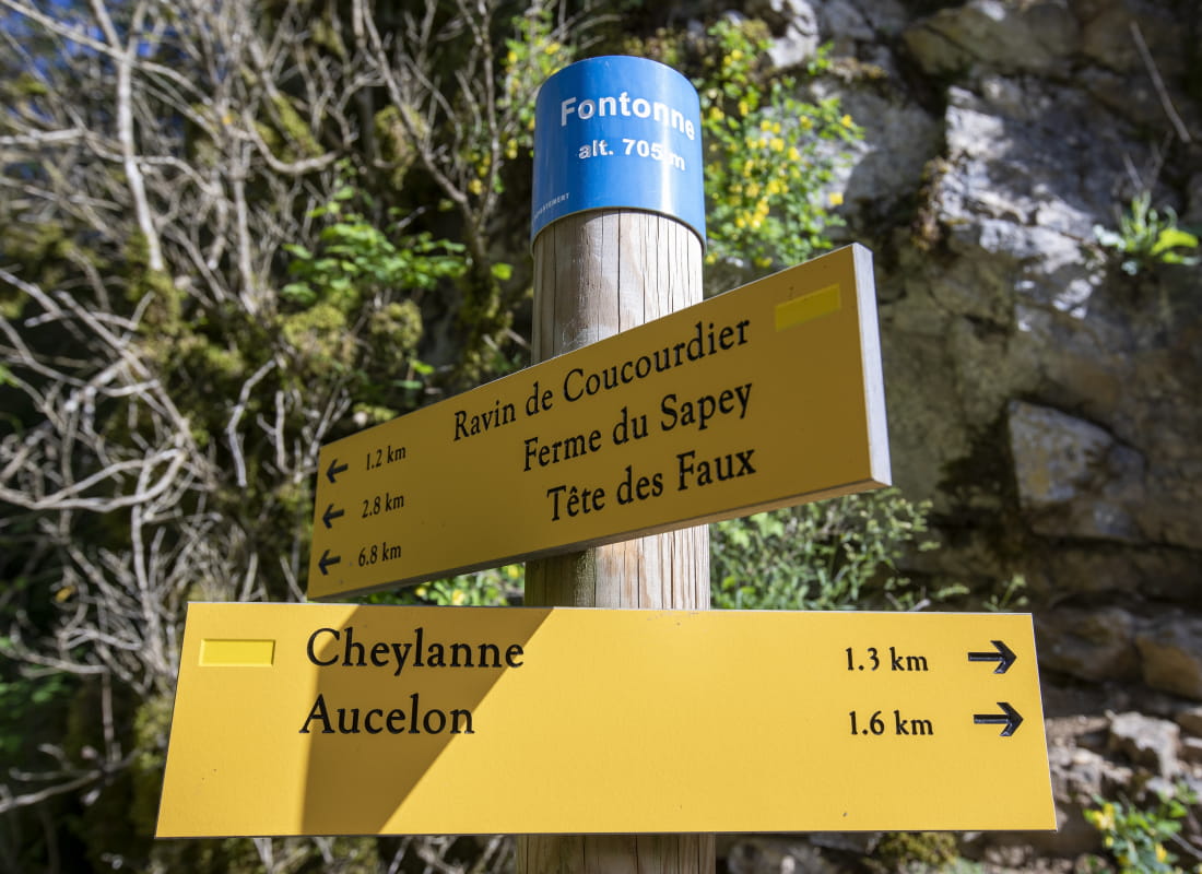
- Departure/arrivalAucelon
- Route markingYes
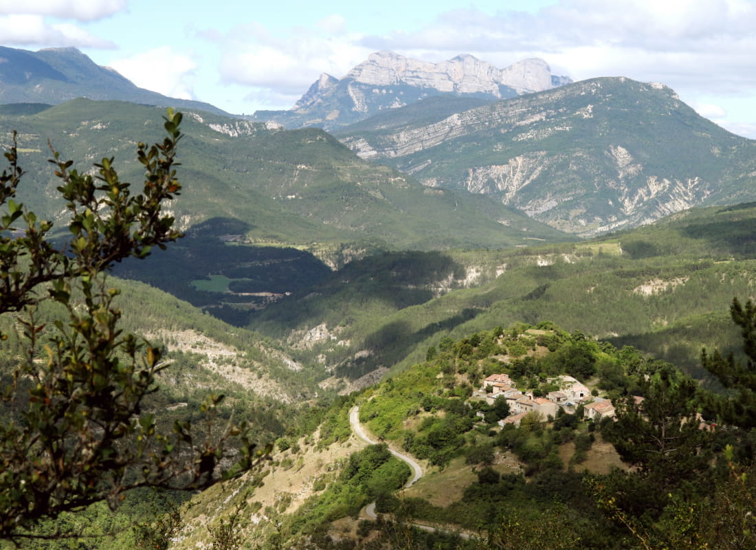
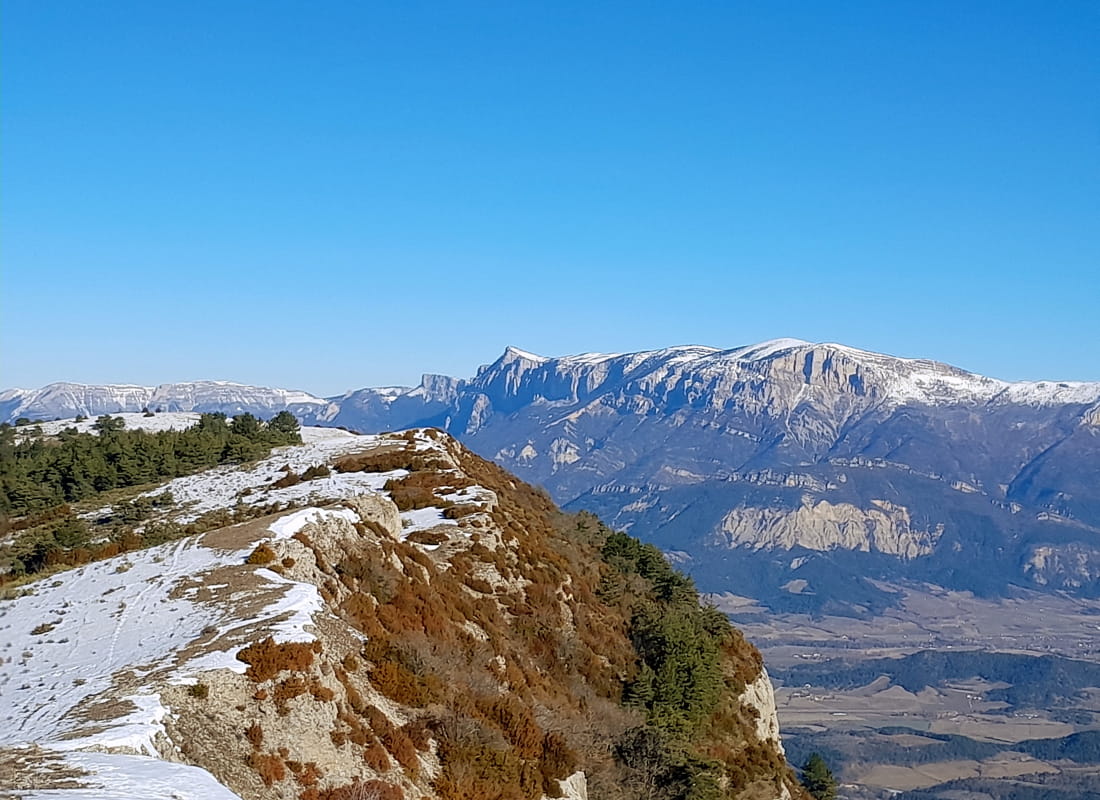
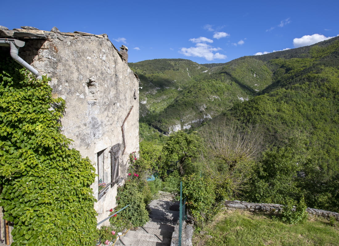
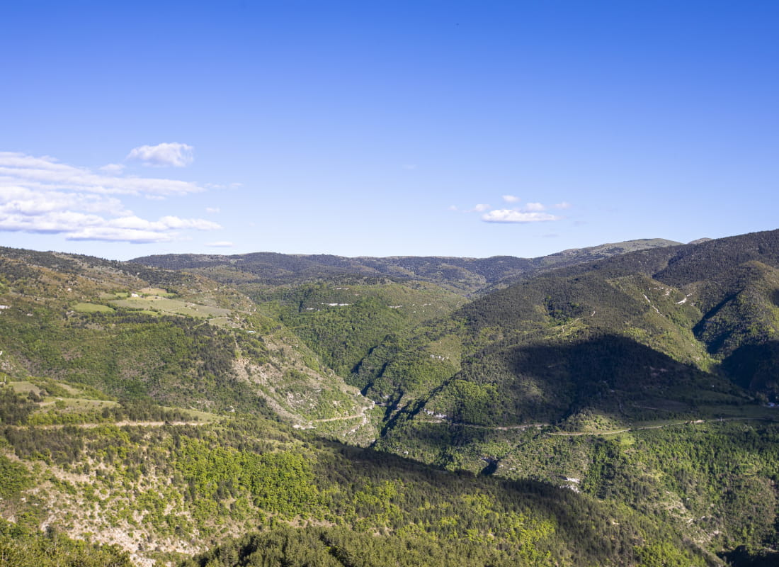
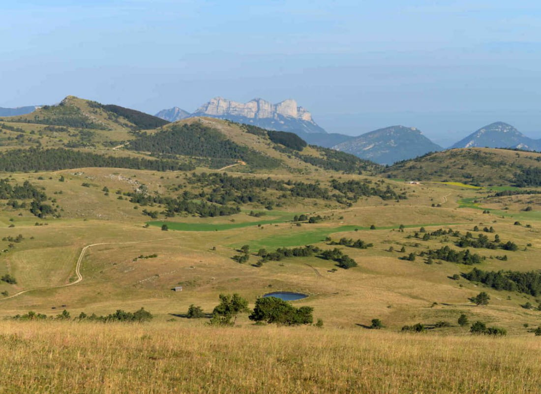
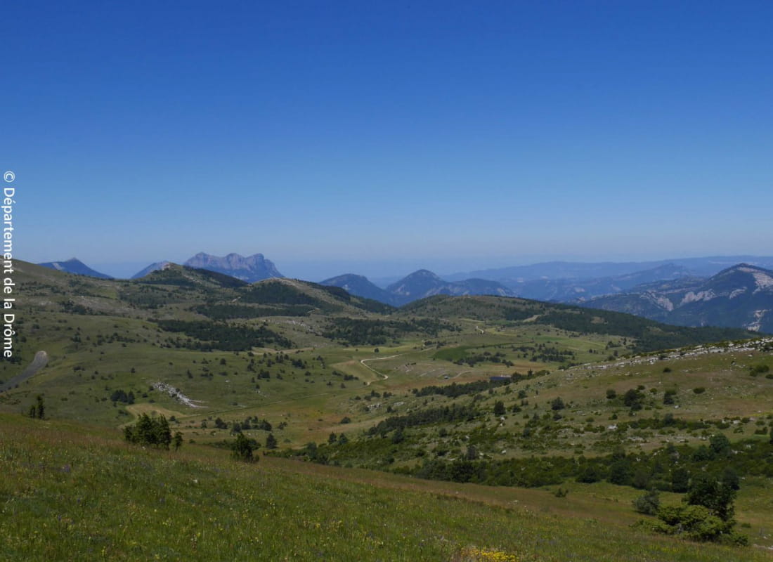
A naturalistic hike that hovers between Provence and the mountains, with a 3-star view of the Trois Becs mountain. Enjoy the shade of the beech trees, forgotten by man, and the full light of the cow pasture, a refuge for many butterflies....
- AddressLieu-dit Cheylanne
26340 Aucelon - Phone04 75 22 03 03
- Emailcontact@diois-tourisme.com
- WebsiteSee the website
Our tips
- Details about route marking :
Balisage jaune (PR) et poteaux de signalétique directionnelle. - Difficult stretches :
Passage en crête et descente dans le ravin de Coucourdier. - Références topographiques :
Topoguide "Le Diois à pied - Aux sources de la Drôme" de la Fédération Française de Randonnée. - Map references :
TOP 25 IGN 3238
Drôme Tourisme cannot be held responsible for any problems encountered along the route.
Any problems encountered can be outlined here:
Author: Conseil Départemental de la Drôme - Apidae Tourisme
To show the map
0M
0M