La Raye
- Distance14,7 km
- Duration4h31
- TypeCircular
- DifficultyDifficult
- Total altitude change+ 760 m
- Departure/arrivalLa Baume-Cornillane
- Route markingYes
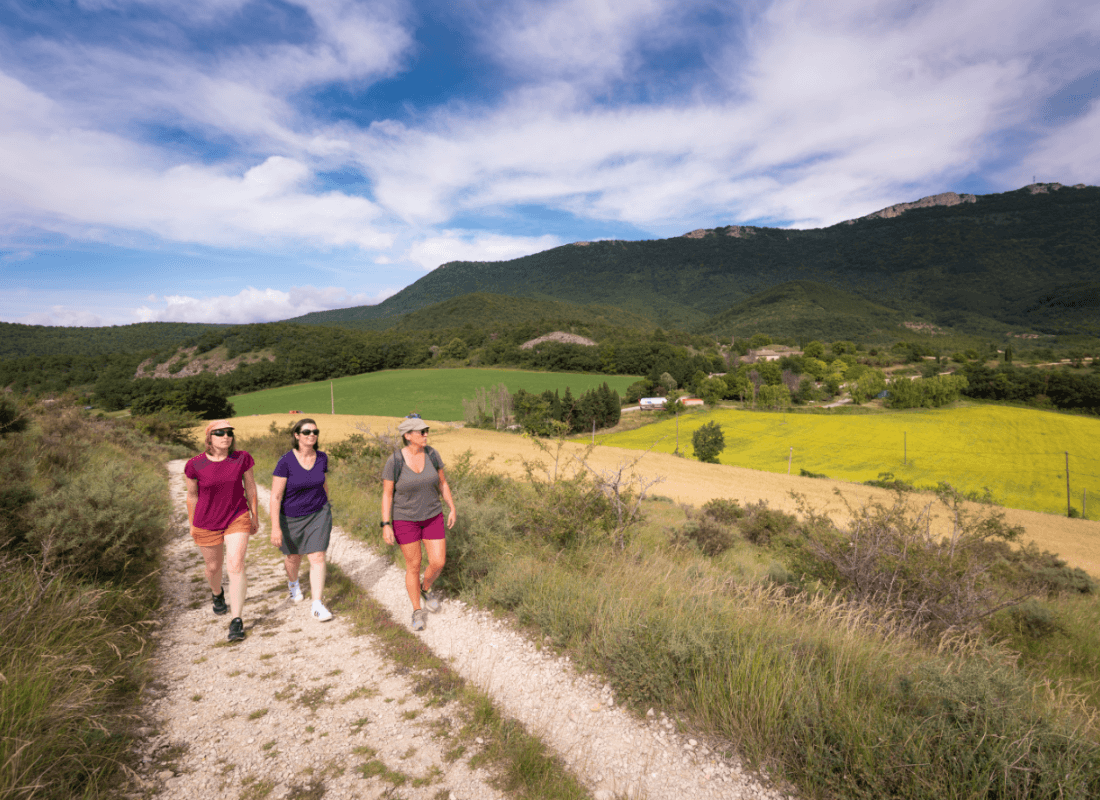
From the medieval village, it's a tough climb to the western cliffs of the Vercors. But up there, the long ridge offers vast panoramas... a great reward!
1 - Go up the road in front of the school, then onto the carriage road. Higher up, take the left-hand path in the undergrowth to the north of the old village. Reach the Pangée sign near the ruins of the old village, then take the Chemin des Vaudois to the water reservoir (imposing rocks). Take the path on the right, then go straight ahead and pass north of the farm.
2 - Le Serre: Take the left-hand path at the Serre signpost.
3 - Poteau de rando: Take the right-hand path, which rises first in the open and then in the undergrowth to Pas de la Croix.
4 - Le Pas de la Croix: From here, at altitude 872m, take a path in the undergrowth, not very well marked at first, which leads to the Pas du Buis.
(Hikers are asked to follow this route carefully, and not to turn right as it is private property. Do not take the ridge path between n°4 and n°6).
5 - Le Pas du Buis: At this point, we leave the path marked 144 to enter the meadow with 143 and cross it, heading east (markings on a post in the middle of the meadow). At the other end of the meadow we find a good path, tarmacked at the end, which takes us to the relay station at the summit of La Raye.
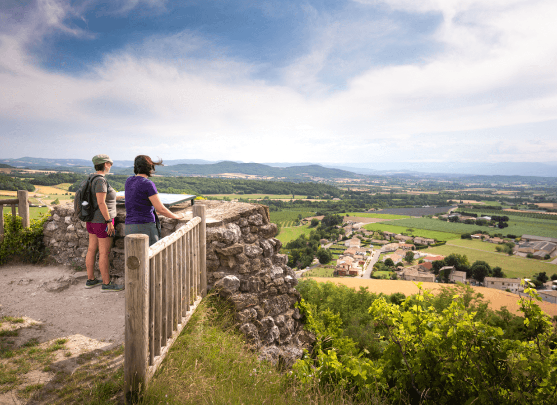
6 - Le sommet de la Raye: At the last bend (signpost), a path takes us in 15 minutes to an orientation table overlooking the Valence plain. Follow this path along the ridge or through the undergrowth, heading due south, until you reach a junction of three paths.
7 - Les trois chemins: Leave the ridge and descend to the right. This good path crosses the slope (15-minute shelter), then veers straight down to the valley.
8 - 500m of road: Finish the descent by following the road for about 500m. Then turn right against the house fence (grass path). Cross the small stream. Follow the path across the field due north. Follow it with trail no. 141 for about 20min.
9 - Return : Take the tarmac road. After the bridge, turn left, then right towards the village.
- AddressParking centre village
26120 La Baume-Cornillane - Phone04 75 44 90 4004 75 02 28 72
- WebsiteSee the website
Drôme Tourisme cannot be held responsible for any problems encountered along the route.
Any problems encountered can be outlined here:
Author: Conseil Départemental de la Drôme - Apidae Tourisme