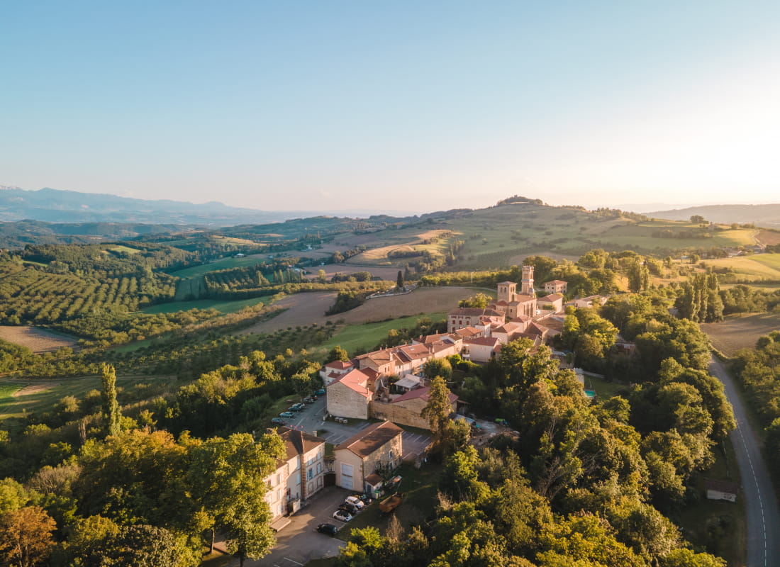
La tour de Montmiral
Ajouter au carnet de voyage
- Distance12,9 km
- Duration4h13
- DifficultyDifficult
- Total altitude change+ 450 m
- Departure/arrivalSaint-Michel-sur-Savasse
- Route markingYes
This loop combines woodland and open country, crossing the Savasse and Bagnol streams with a superb view of the Vercors.
- AddressDépart du parking au centre du village
26750 Saint-Michel-sur-Savasse - Phone04 75 02 28 72
Drôme Tourisme cannot be held responsible for any problems encountered along the route.
Any problems encountered can be outlined here:
Author: Conseil Départemental de la Drôme - Apidae Tourisme
To show the map
0M
0M