Le champ des Pins
Ajouter au carnet de voyage

- Distance11,3 km
- Duration4h19
- TypeCircular
- DifficultyDifficult
- Total altitude change+ 670 m
- Departure/arrivalSaint-Vincent-la-Commanderie
- Route markingYes
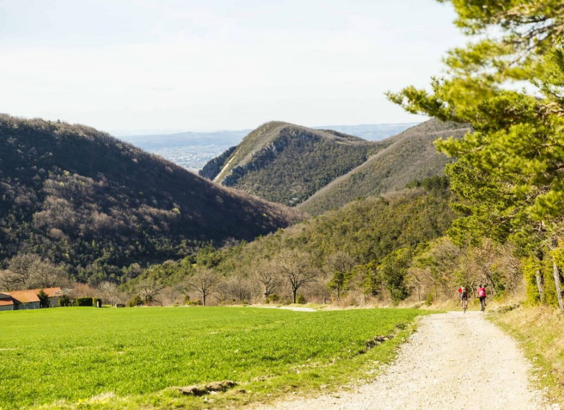
This superb hike, often on a balcony, offers magnificent views of the surrounding plains and Vercors rock lines as you emerge from the woods.
- AddressParking de la salle communale
26300 Saint-Vincent-la-Commanderie - Phone04 75 02 28 7204 75 44 90 40
- WebsiteSee the website
Our tips
- Details about route marking :
Balisage PR (panneau jaune) - Map references :
Partir avec la carte IGN 3136SB est vivement conseillé.
Drôme Tourisme cannot be held responsible for any problems encountered along the route.
Any problems encountered can be outlined here:
Author: Conseil Départemental de la Drôme - Apidae Tourisme
To show the map
0M
0M