Le chemin de Diane
Ajouter au carnet de voyage
- Distance9,5 km
- Duration2h30
- DifficultyModerate
- Total altitude change+ 63 m
- Departure/arrivalBeauvallon
- Route markingYes
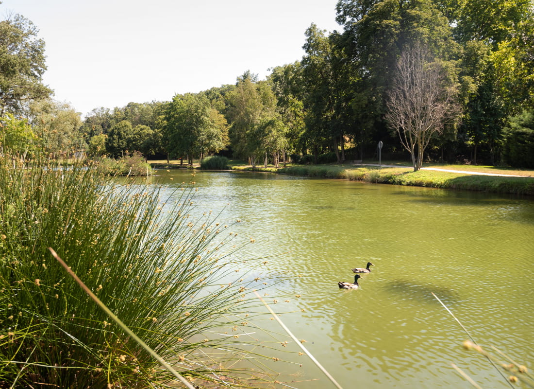
From the banks of the Véore to the Beauvallon ponds, you'll discover the old village of Etoile and its Notre-Dame church, as well as a Chappe telegraph tower, the ancestor of our telecommunications.
- Addressrue du Lavoir
26800 Beauvallon - Phone04 75 44 90 40
- WebsiteSee the website
Drôme Tourisme cannot be held responsible for any problems encountered along the route.
Any problems encountered can be outlined here:
Author: Conseil Départemental de la Drôme - Apidae Tourisme
To show the map
0M
0M