LE DEVES
Ajouter au carnet de voyage
- Distance6,2 km
- Duration1h45
- TypeCircular
- DifficultyModerate
- Total altitude change+ 160 m
- Departure/arrivalMontjoux
- Route markingYes
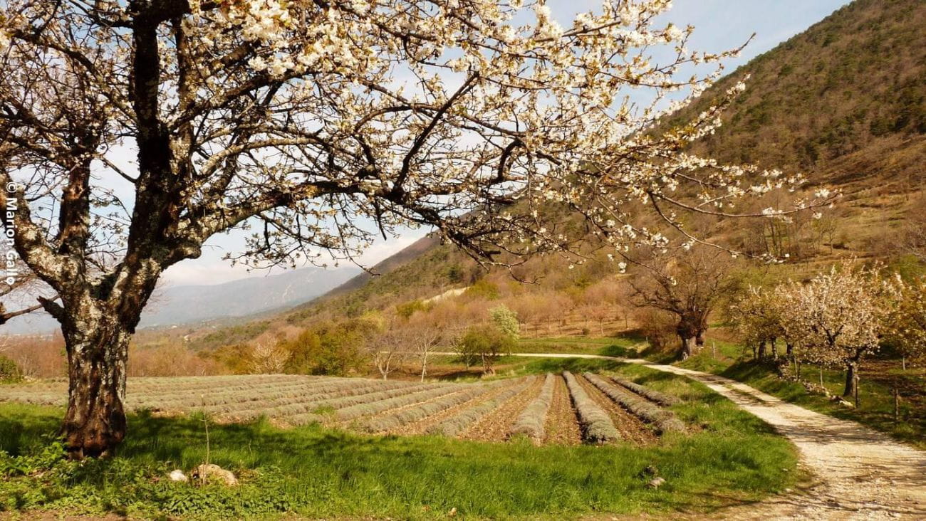
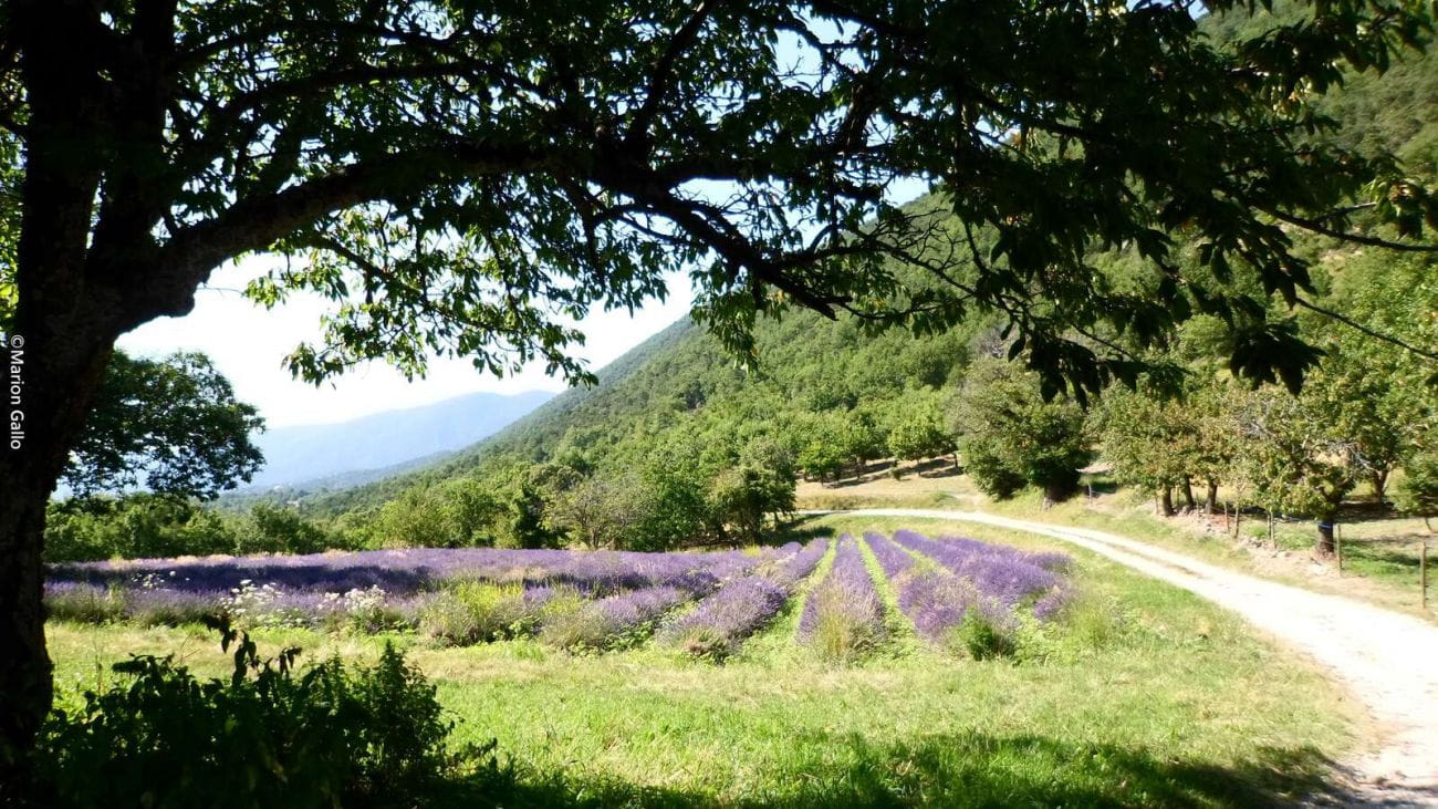
This small easy loop is especially nice to do while lavender are in bloom (June and July). Ideal for a family outing, it should be noted that if almost all of the route is very practicable, a portion makes it impossible for strollers (even all terrain ...
- AddressParking du cimetière
26220 Montjoux - Phone04 75 46 42 49
- WebsiteSee the website
Our tips
- Details about route marking :
PR (jaune)
Drôme Tourisme cannot be held responsible for any problems encountered along the route.
Any problems encountered can be outlined here:
Author: Conseil Départemental de la Drôme - Apidae Tourisme
To show the map
0M
0M