Le pas de l'Echo
Ajouter au carnet de voyage
- Distance13,1 km
- Duration4h31
- DifficultyDifficult
- Total altitude change+ 550 m
- Departure/arrivalOriol-en-Royans
- Route markingYes
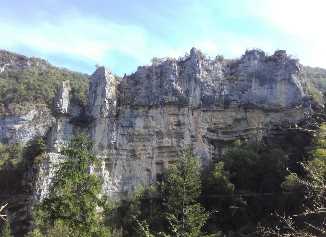
Join the Pas de l'Echo, partly on the tracks of an ancient Roman road that was once the only link between Oriol and the village of Léoncel to the south.
Cette balade aux paysages diversifiés vous fait découvrir le patrimoine historique et naturel d'Oriol-en-Royans, entre espaces agricoles, sous bois, canyon et passages insolites.
- Address26190 Oriol-en-Royans
Drôme Tourisme cannot be held responsible for any problems encountered along the route.
Any problems encountered can be outlined here:
Author: Conseil Départemental de la Drôme - Apidae Tourisme
To show the map
0M
0M