Le pas du Buis
Ajouter au carnet de voyage
- Distance12,4 km
- Duration5h
- DifficultyDifficult
- Total altitude change+ 538 m
- Departure/arrivalCombovin
- Route markingYes
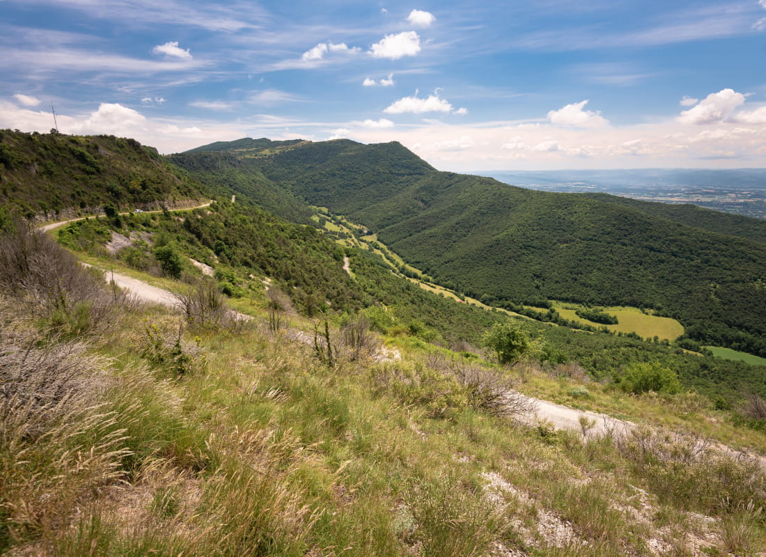
You'll make your way around the Véore valley via wooded ridges and grazed combes. From the pas de Boussière, the view extends to the Crussol massif and the Monts d'Ardèche.
- AddressLe Village
26120 Combovin - Phone04 75 44 90 40
- WebsiteSee the website
Drôme Tourisme cannot be held responsible for any problems encountered along the route.
Any problems encountered can be outlined here:
Author: Conseil Départemental de la Drôme - Apidae Tourisme
To show the map
0M
0M