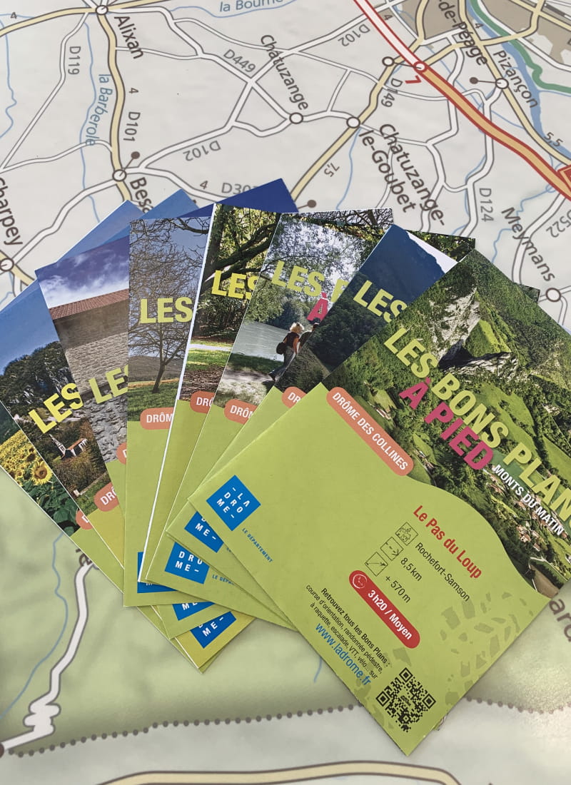
Le pas du Loup
Ajouter au carnet de voyage
- Distance8,6 km
- Duration3h30
- TypeCircular
- DifficultyDifficult
- Total altitude change+ 570 m
- Departure/arrivalRochefort-Samson
- Route markingYes
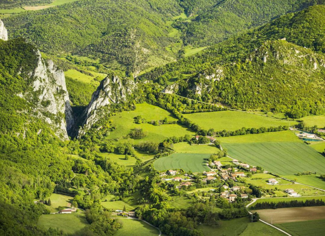
The built, historic and natural heritage, the Combe d'Oyans gorges and the Pas du Loups are just a few of the thousand and one wonders of the Monts du Matin to be discovered on this hike.
- AddressParking de Combe d'Oyans
26300 Rochefort-Samson - Phone04 75 02 28 7204 75 44 90 40
- WebsiteSee the website
Our tips
- Details about route marking :
Balisage PR (panneau jaune) et GRP (panneau jaune et rouge) - Map references :
Partir avec la carte IGN 3135SB est vivement conseillé.
Drôme Tourisme cannot be held responsible for any problems encountered along the route.
Any problems encountered can be outlined here:
Author: Conseil Départemental de la Drôme - Apidae Tourisme
To show the map
0M
0M