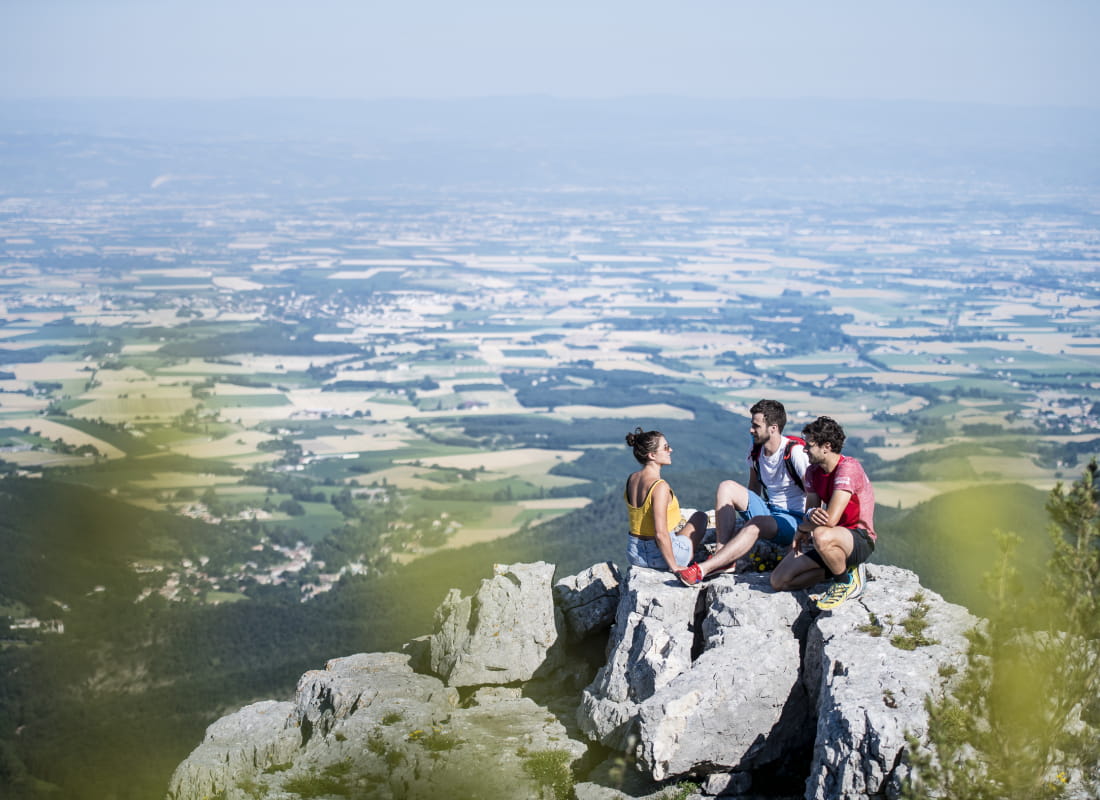
Le pas du Touet
Ajouter au carnet de voyage
- Distance15,4 km
- Duration4h53
- DifficultyVery difficult
- Total altitude change+ 870 m
- Departure/arrivalPeyrus
- Route markingYes
This beautiful hike climbs the Pas du Touet path once used by the monks of Léoncel and descends to the plain, after a short incursion onto the Vercors plateau.
- AddressDépart de Peyrus du parking dans le village
26120 Peyrus - Phone04 75 02 28 72
Drôme Tourisme cannot be held responsible for any problems encountered along the route.
Any problems encountered can be outlined here:
Author: Conseil Départemental de la Drôme - Apidae Tourisme
To show the map
0M
0M