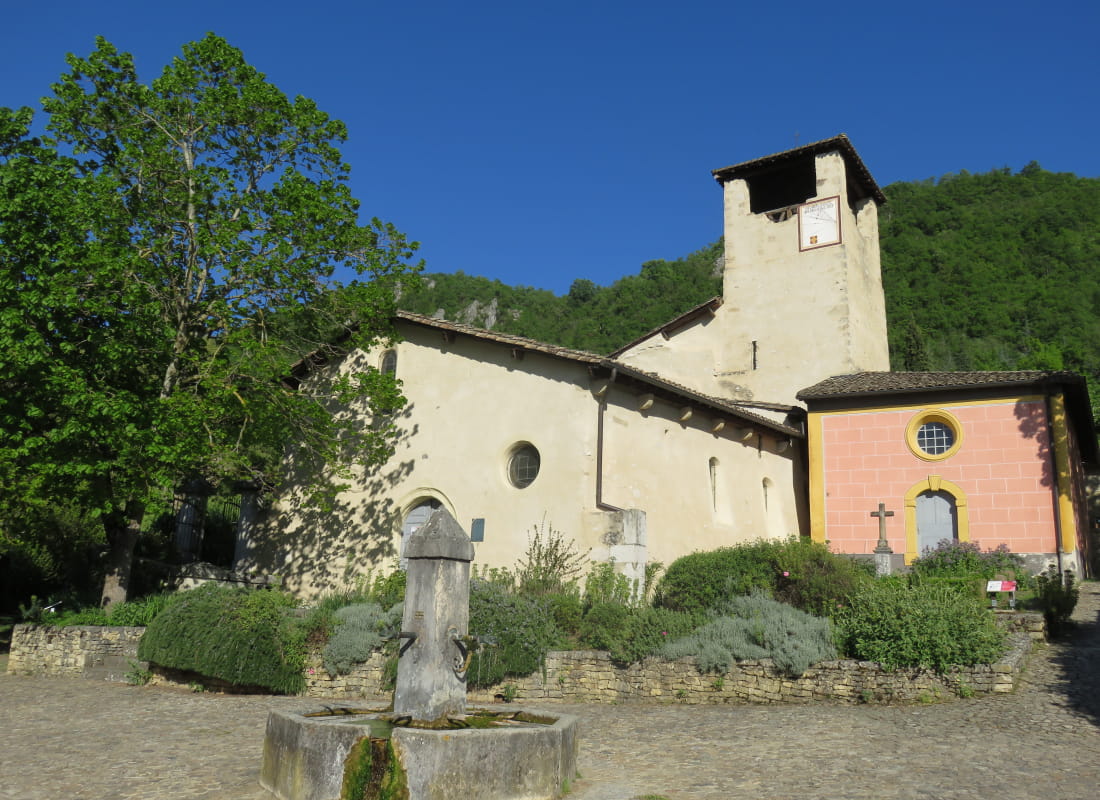
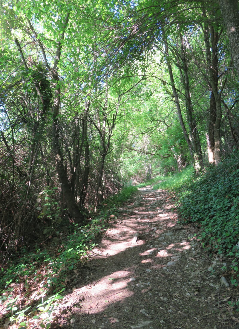
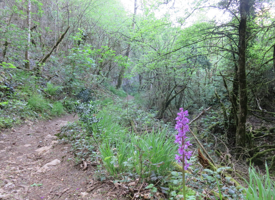
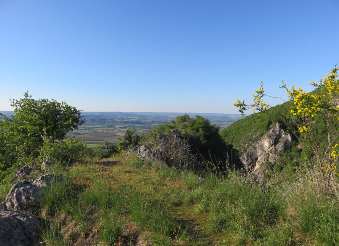
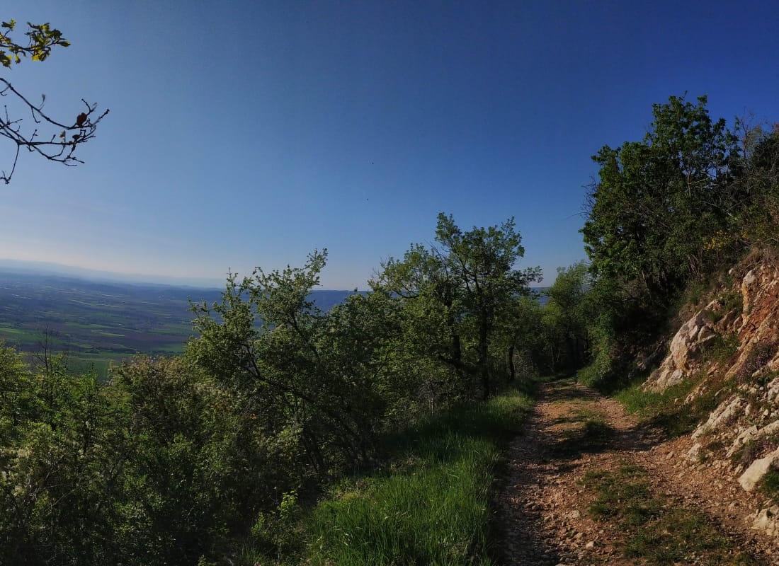
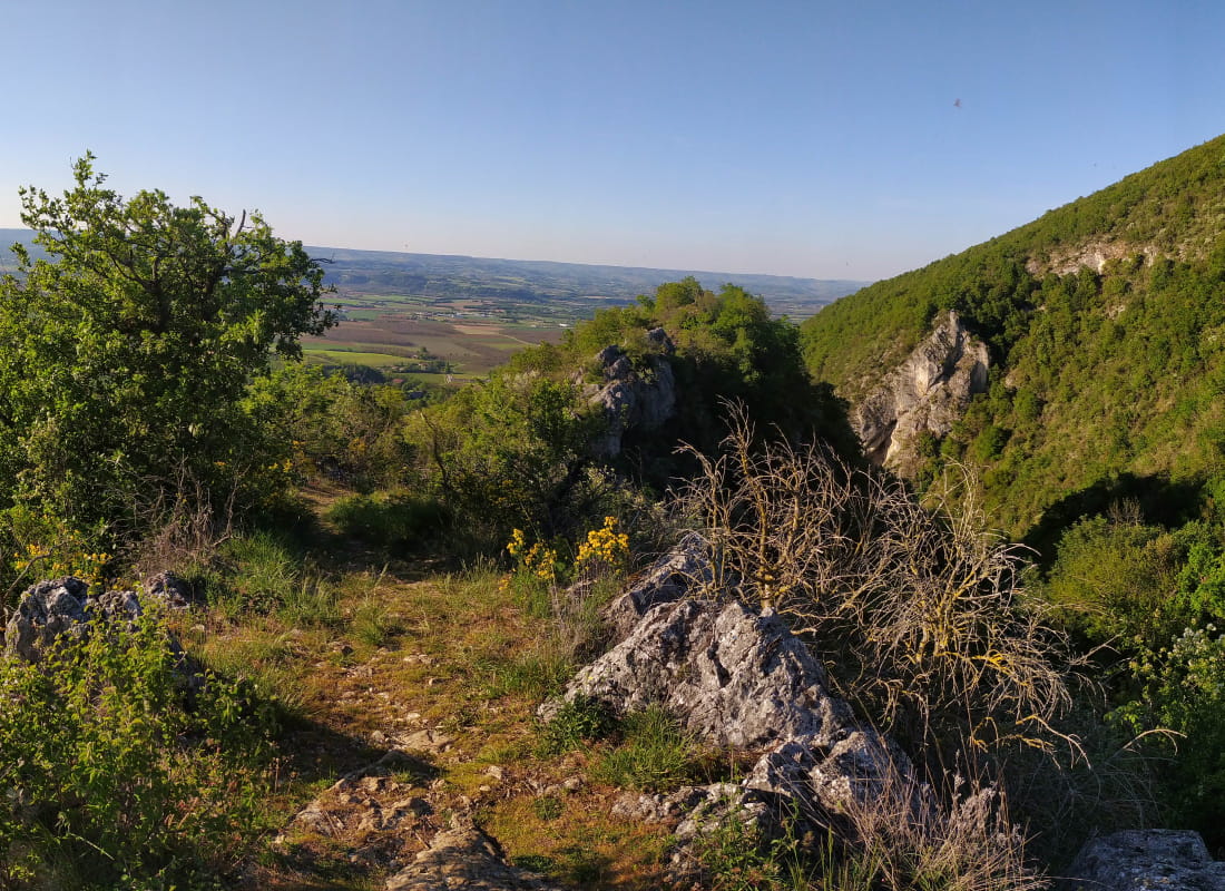
Le ravin de Laya
Ajouter au carnet de voyage
- Distance10,3 km
- Duration4h4
- DifficultyDifficult
- Total altitude change+ 600 m
- Departure/arrivalHostun
- Route markingYes
This botanical hike will enable you to discover the "simples", the plants of the forest environment and those of the wetlands of the Laya ravine, beautiful landscapes and panoramas and the magnificent Romanesque church.
- AddressDépart village St Martin
26730 Hostun - Phone04 75 02 28 72
Drôme Tourisme cannot be held responsible for any problems encountered along the route.
Any problems encountered can be outlined here:
Author: Conseil Départemental de la Drôme - Apidae Tourisme
To show the map
0M
0M