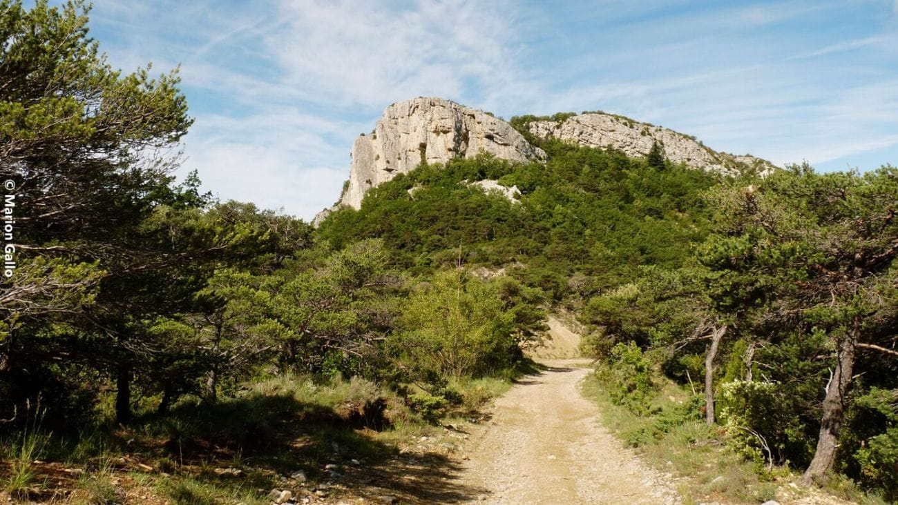
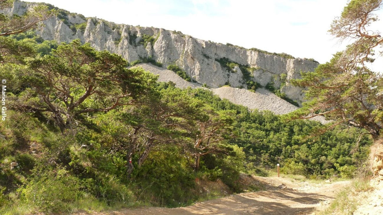
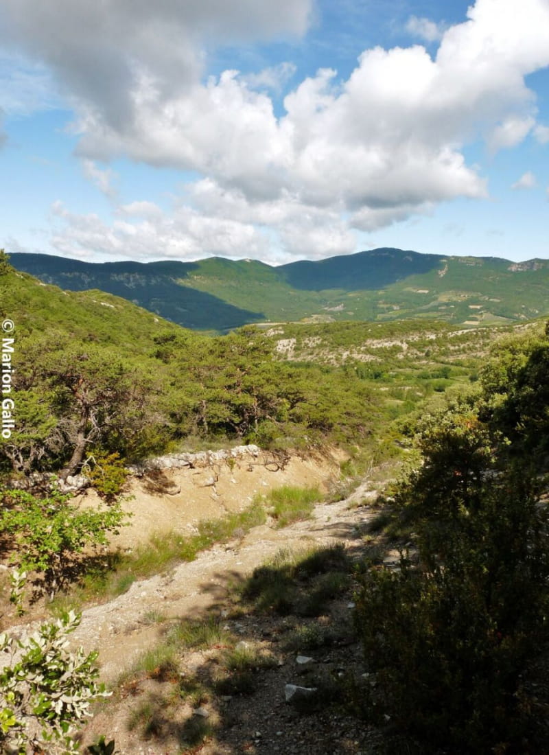
Le rocher des Aures
Ajouter au carnet de voyage
- Distance13,7 km
- Duration4h30
- TypeCircular
- DifficultyDifficult
- Total altitude change+ 700 m
- Departure/arrivalRoche-Saint-Secret-Béconne
- Route markingYes
A sporty route to the Alpages de la Lance. A grazing site, a take-off area, a Resistance maquis: an emblematic site of the Dieulefit-Bourdeaux region to discover.
- Address26770 Roche-Saint-Secret-Béconne
- Phone04 75 46 42 49
- WebsiteSee the website
Our tips
- Details about route marking :
GR (blanc et rouge) et PR (jaune)
Drôme Tourisme cannot be held responsible for any problems encountered along the route.
Any problems encountered can be outlined here:
Author: Conseil Départemental de la Drôme - Apidae Tourisme
To show the map
0M
0M