Le tour du Mont Carmel
Ajouter au carnet de voyage
- Distance2,5 km
- Duration1h30
- TypeCircular
- DifficultyVery easy
- Total altitude change+ 80 m
- Departure/arrivalLa Bégude-de-Mazenc
- Route markingYes
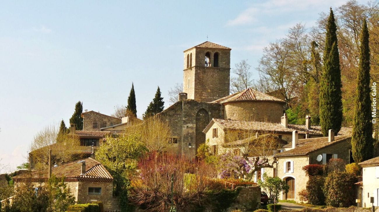
A quiet little loop to discover the old village of Châteauneuf-de-Mazenc and its surroundings. The pretty village seems to watch over the Valdaine plain, the western entrance to the Dieulefit-Bourdeaux region.
- AddressParking du cimetière, sud-est de Châteauneuf
26160 La Bégude-de-Mazenc - Phone04 75 46 42 49
- WebsiteSee the website
Drôme Tourisme cannot be held responsible for any problems encountered along the route.
Any problems encountered can be outlined here:
Author: Conseil Départemental de la Drôme - Apidae Tourisme
To show the map
0M
0M