Les collines d'Orcinas
Ajouter au carnet de voyage
- Distance9,8 km
- Duration3h30
- TypeCircular
- DifficultyModerate
- Total altitude change+ 370 m
- Departure/arrivalOrcinas
- Route markingYes
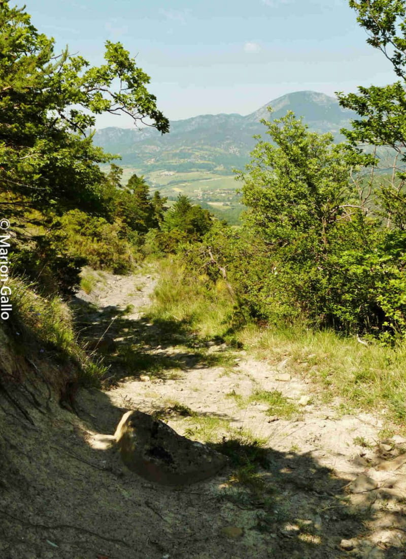
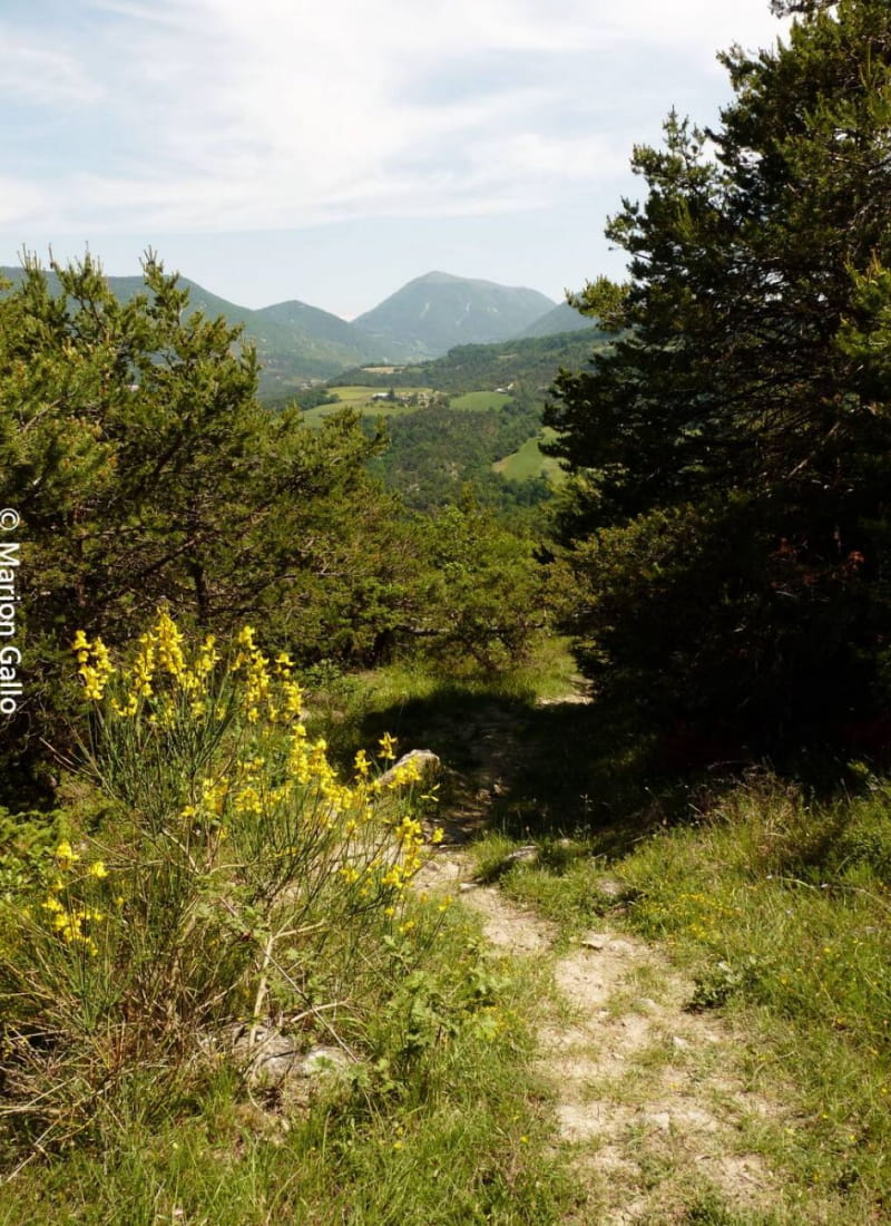
The route takes in a pleasant countryside of wooded hills and green meadows, with unobstructed views over the Roubion basin and the long Couspeau ridge. A long loop with no particular difficulties.
- AddressParking de la Mairie d'Orcinas
26220 Orcinas - Phone04 75 46 42 49
- WebsiteSee the website
Our tips
- Details about route marking :
GR (blanc et rouge), GRP (jaune et rouge) et PR (jaune)
Drôme Tourisme cannot be held responsible for any problems encountered along the route.
Any problems encountered can be outlined here:
Author: Conseil Départemental de la Drôme - Apidae Tourisme
To show the map
0M
0M