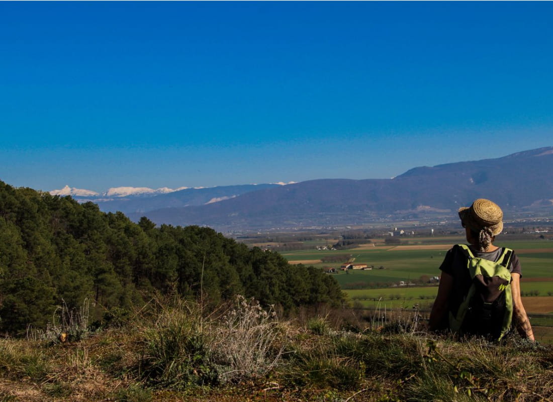
Les coteaux de Génissieux
Ajouter au carnet de voyage
- Distance9,8 km
- Duration3h15
- TypeCircular
- DifficultyModerate
- Total altitude change+ 300 m
- Departure/arrivalGénissieux
- Route markingYes
On the Génissieux hillsides, discover a natural area of ecological, faunistic and floristic interest. You'll also be able to enjoy a variety of views over the Vercors massif and the Romans plain.
- Addressrue le Champ de Mars
26750 Génissieux - Phone04 75 02 28 7204 75 44 90 40
- WebsiteSee the website
Our tips
- Details about route marking :
Balisage PR (panneaux jaunes) et GRP (panneaux jaunes et rouges) - Map references :
Partir avec la carte IGN n°3135 SB est vivement conseillé.
Drôme Tourisme cannot be held responsible for any problems encountered along the route.
Any problems encountered can be outlined here:
Author: Conseil Départemental de la Drôme - Apidae Tourisme
To show the map
0M
0M