Les Sadous
Ajouter au carnet de voyage

- Distance10 km
- Duration3h30
- TypeCircular
- DifficultyDifficult
- Total altitude change+ 450 m
- Departure/arrivalLa Chaudière
- Route markingYes
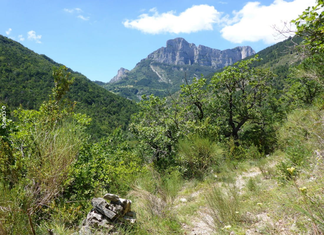
At the foot of the majestic Trois Becs massif and Couspeau mountain, leave the charming village of La Chaudière for the Sadous chapel perched on a wooded spur.
- AddressLe village
26340 La Chaudière
Our tips
- Details about route marking :
Poteaux directionnels et peinture jaune - Map references :
IGN 3138 OT
Drôme Tourisme cannot be held responsible for any problems encountered along the route.
Any problems encountered can be outlined here:
Author: Conseil Départemental de la Drôme - Apidae Tourisme
To show the map
0M
0M