L'Hostunoise
Ajouter au carnet de voyage
- Distance6,2 km
- Duration2h30
- TypeCircular
- DifficultyModerate
- Total altitude change+ 230 m
- Departure/arrivalHostun
- Route markingYes
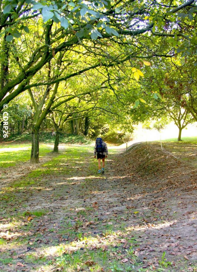
Hiking trail with thematic panels. This educational trail, between the plains and the mountains, is sure to delight families, with each panel featuring a question-game for children and one for adults.
There are two possibilities for...
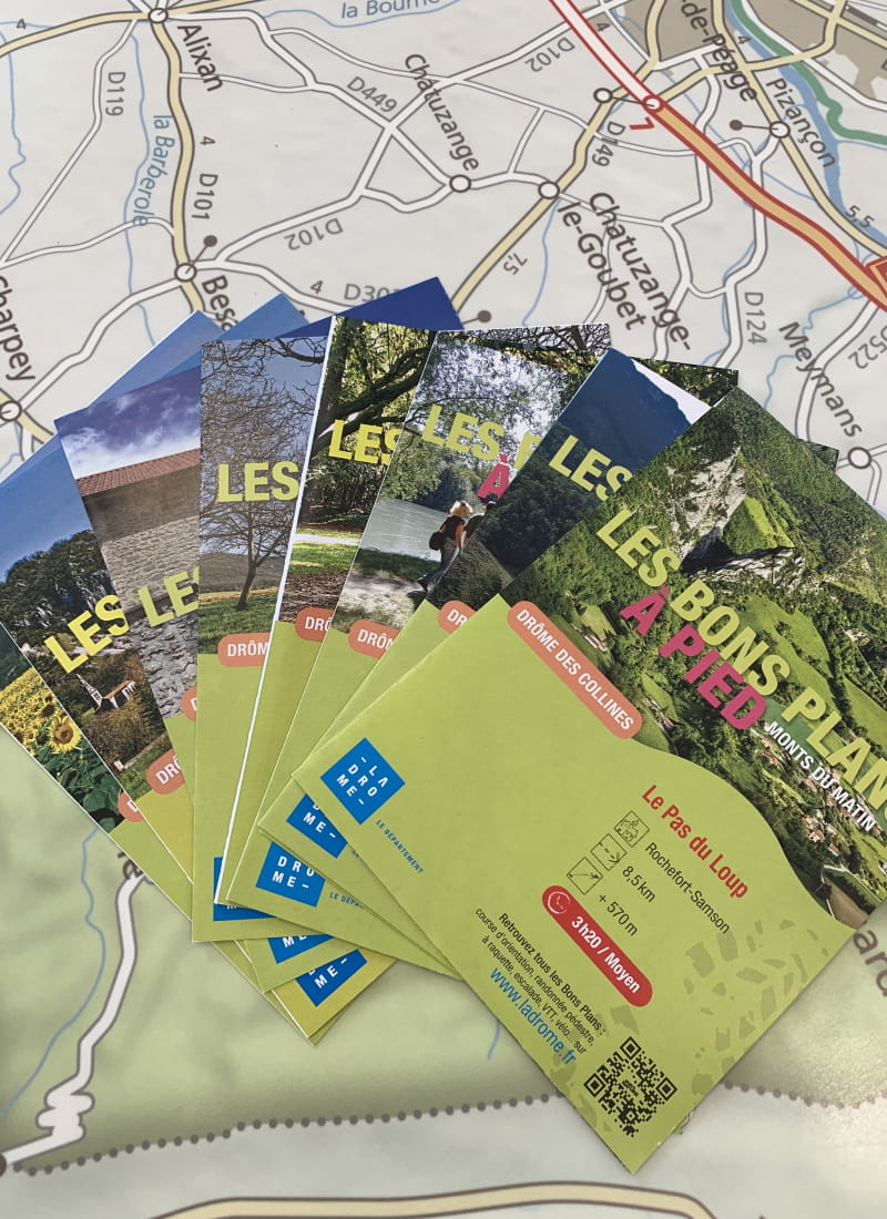
Deux possibilités s’offrent à vous pour découvrir ces questions-jeu : scanner les QR codes des panneaux ou se procurer un dépliant avec les questions (OT de Valence, OT de Romans, mairie et épicerie d’Hostun).
- Address150m nord-est du Parking de l'Eglise de St Martin d'Hostun
26730 Hostun - Phone04 75 02 28 7204 75 44 90 40
- WebsiteSee the website
Our tips
- Details about route marking :
Balisage PR (panneaux jaunes) - Map references :
Partir avec la carte IGN 3135SB est vivement conseillé.
Drôme Tourisme cannot be held responsible for any problems encountered along the route.
Any problems encountered can be outlined here:
Author: Conseil Départemental de la Drôme - Apidae Tourisme
To show the map
0M
0M