Marateste
Ajouter au carnet de voyage
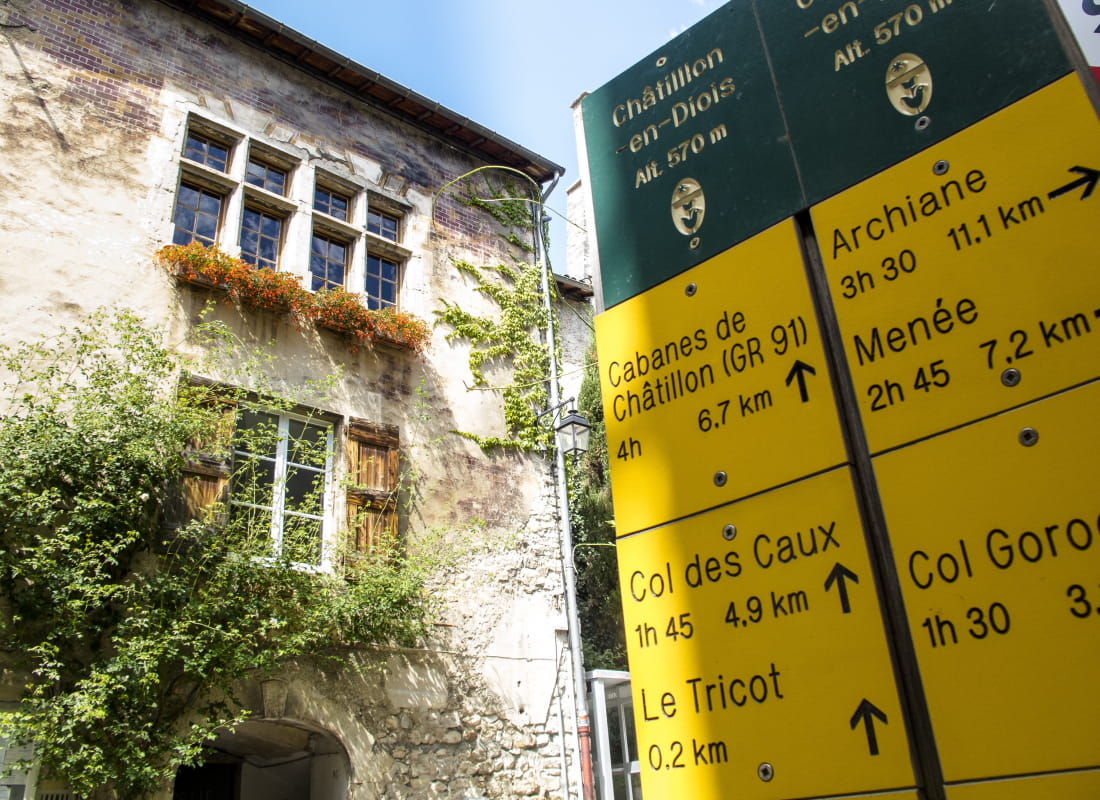
- Distance6,8 km
- Duration3h
- TypeCircular
- DifficultyModerate
- Total altitude change+ 490 m
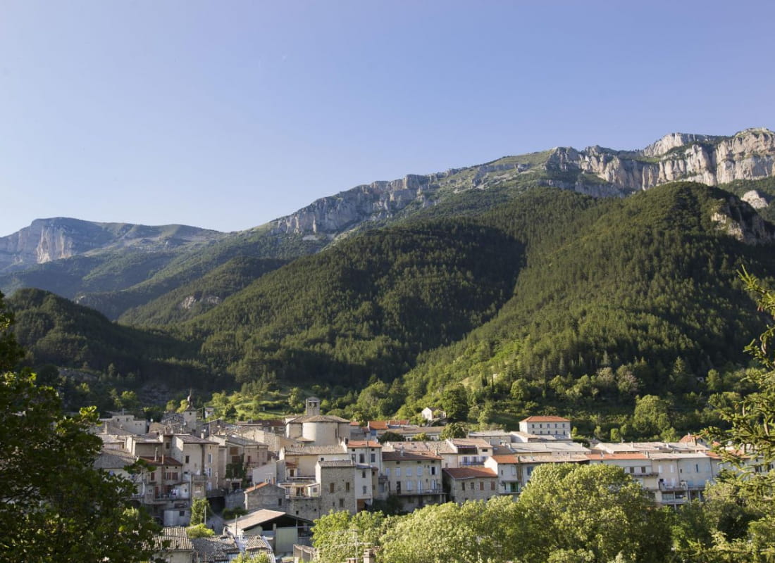
- Departure/arrivalChâtillon-en-Diois
- Route markingYes
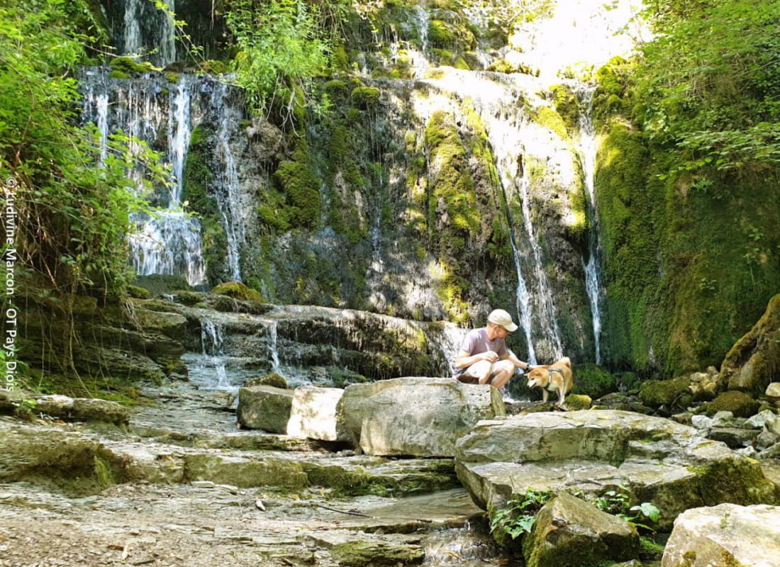
With the sound of the Adoux waterfall, enjoy the benefits of a forest bath in 3000 trees, enriched by the laughter of the 10,000 children who planted them for the Giono project, "the man who planted trees".
- AddressOffice de Tourisme
26410 Châtillon-en-Diois - Phone04 75 22 03 03
- Emailcontact@diois-tourisme.com
- WebsiteSee the website
Our tips
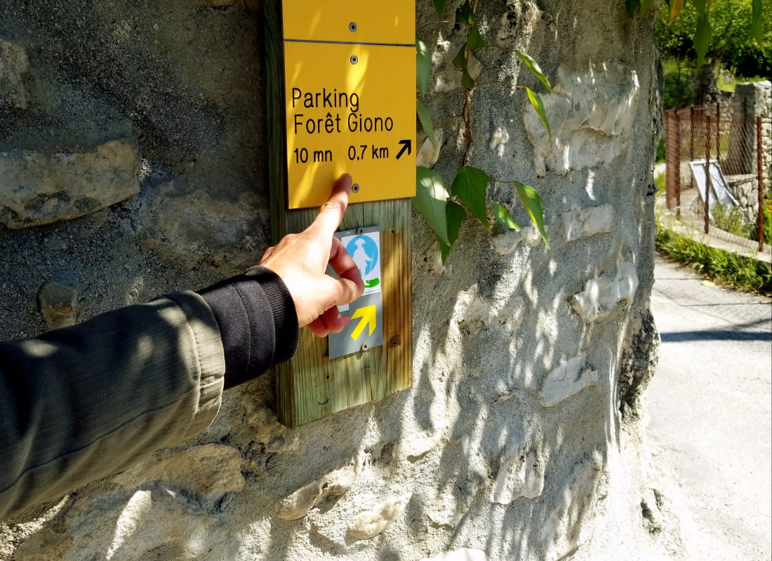
- Details about route marking :
Balisage jaune et vert (PR) et poteaux de signalétique directionnelle - Map references :
TOP 25 IGN 3237
Drôme Tourisme cannot be held responsible for any problems encountered along the route.
Any problems encountered can be outlined here:
Author: Conseil Départemental de la Drôme - Apidae Tourisme
To show the map
0M
0M