Miélandre
Ajouter au carnet de voyage
- Distance6,7 km
- Duration2h55
- TypeCircular
- DifficultyDifficult
- Total altitude change+ 690 m
- Departure/arrivalVesc
- Route markingYes
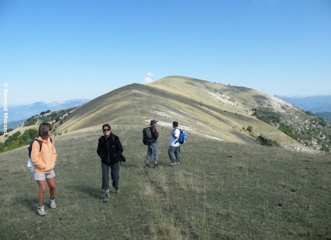
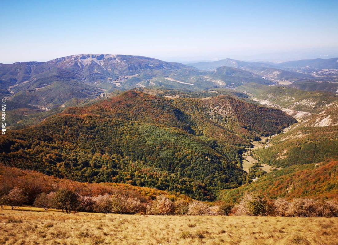
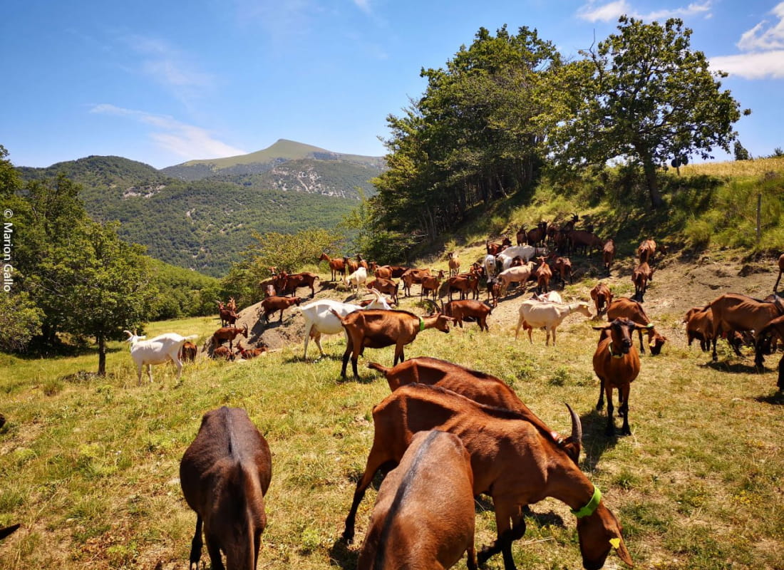
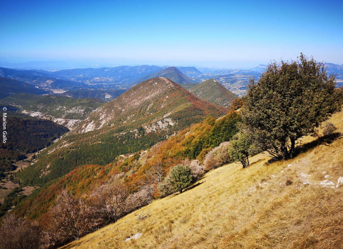
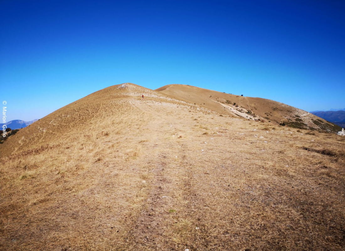
Reaching the summit meadows of Miélandre requires a major effort, but the reward is worth the effort: an incredible landscape with a breathtaking view! Beware: you'll be crossing livestock farming areas.
- AddressCol d'Espreaux, dernier virage avant la ferme
26220 Vesc - Phone04 75 46 42 49
Our tips
- Details about route marking :
PR (jaune)
Drôme Tourisme cannot be held responsible for any problems encountered along the route.
Any problems encountered can be outlined here:
Author: Conseil Départemental de la Drôme - Apidae Tourisme
To show the map
0M
0M