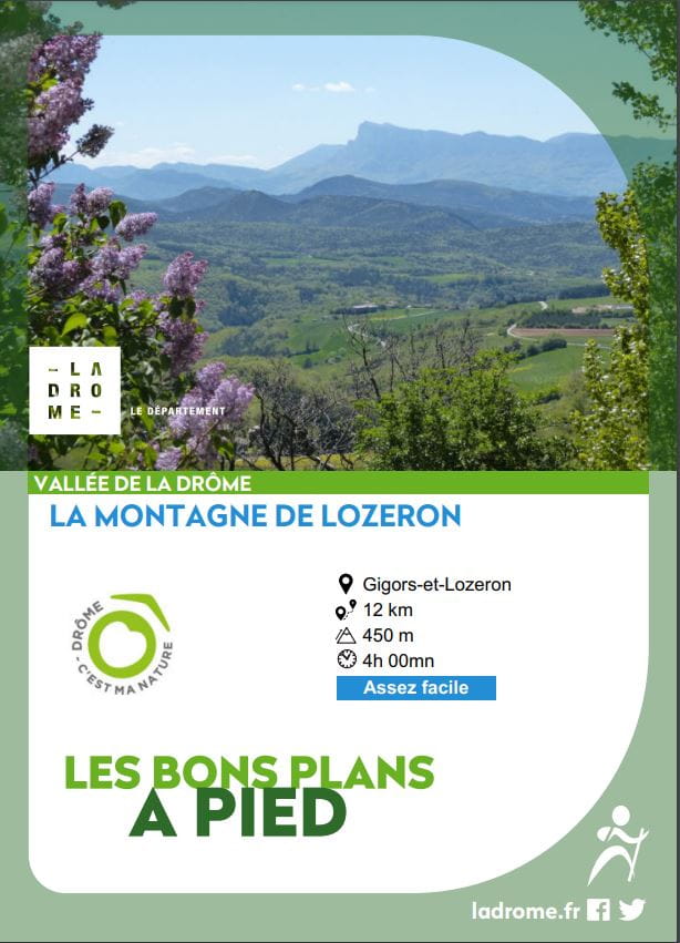
Montagne de Lozeron
Ajouter au carnet de voyage
- Distance12 km
- Duration4h
- TypeCircular
- DifficultyModerate
- Total altitude change+ 450 m
- Departure/arrivalGigors-et-Lozeron
- Route markingYes
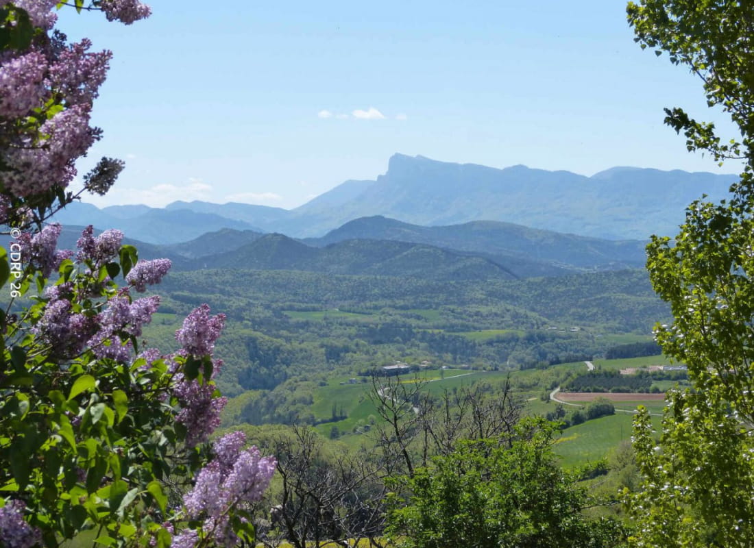
From the famous Plateau des Chaux, a small agricultural plain still preserved by traditional practices, you'll reach the heights of the Lozeron mountain and enjoy a 260° panorama.
- AddressDépart Jozonière / Parking : sur la D743, après la D70
26400 Gigors-et-Lozeron - Phone04 75 63 10 88
- Emailotvaldedrome@gmail.com
Our tips
- Références topographiques :
Topo guide FFRP La Vallée Drôme à pied disponible dans les offices de tourisme de la Vallée de la Drôme - Map references :
IGN 3137 OT Die Crest
Drôme Tourisme cannot be held responsible for any problems encountered along the route.
Any problems encountered can be outlined here:
Author: Conseil Départemental de la Drôme - Apidae Tourisme
To show the map
0M
0M