Montagne de Pélandré
Ajouter au carnet de voyage
- Distance16,1 km
- Duration5h45
- DifficultyDifficult
- Total altitude change+ 410 m
- Departure/arrivalBouvante
- Route markingYes
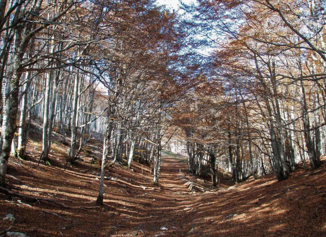
Beautiful forest hike with little change in altitude, from the fôret de lente to the col de l'écharasson, passing over the val Sainte Marie.
- Address26190 Bouvante
- Phone04 75 48 22 54
Drôme Tourisme cannot be held responsible for any problems encountered along the route.
Any problems encountered can be outlined here:
Author: Conseil Départemental de la Drôme - Apidae Tourisme
To show the map
0M
0M