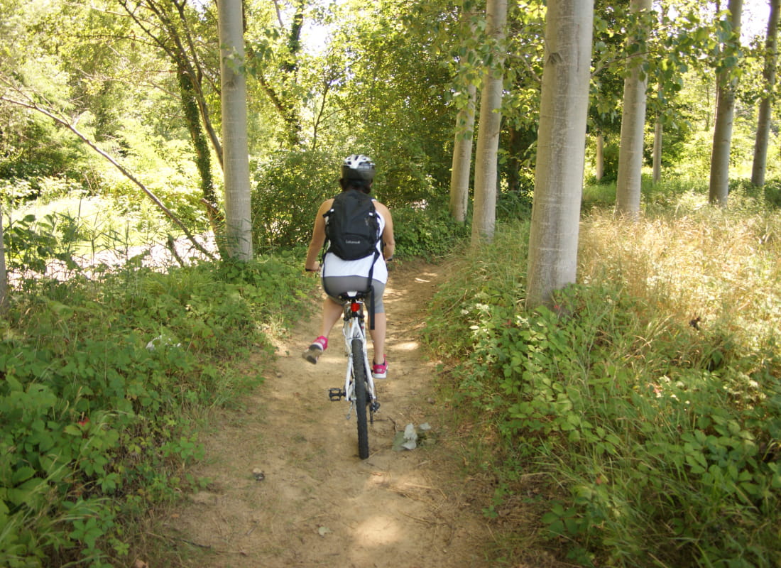
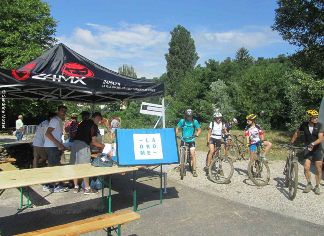
Mountainbike trail
Ajouter au carnet de voyage
- Distance44,5 km
- Duration4h30
- TypeCircular
- DifficultyVery difficult
- Total altitude change+ 1040 m
- Departure/arrivalHauterives
- Route markingYes
Discover the hills around the villages of Hauterives, Saint Avit, Tersanne on this trail offering views of the medieval Tower in Ratières.
- AddressParking du palais idéal du facteur Cheval
26390 Hauterives - Phone04 75 23 45 33
- Emailporte@dromardeche.fr
- WebsiteSee the website
Our tips
- Details about route marking :
Balisage FFC - Map references :
Top 25 ign
Drôme Tourisme cannot be held responsible for any problems encountered along the route.
Any problems encountered can be outlined here:
Author: Conseil Départemental de la Drôme - Apidae Tourisme
To show the map
0M
0M