Mountainbike trail N°1
Ajouter au carnet de voyage
- Distance13 km
- Duration2h
- TypeCircular
- DifficultyVery easy
- Total altitude change+ 250 m
- Departure/arrivalHauterives
- Route markingYes
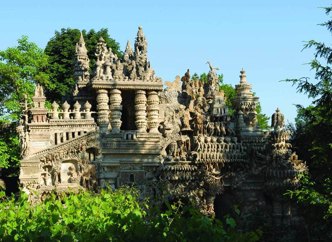
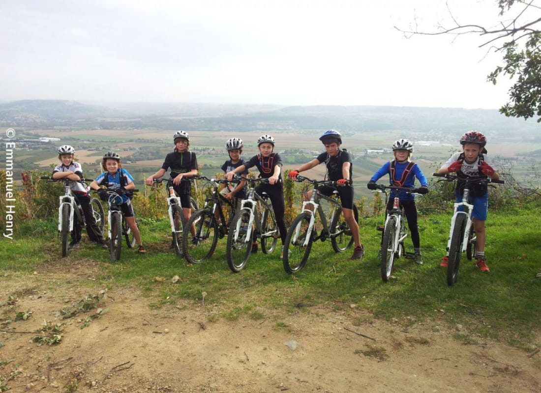
On a small exciting path along the river you will enjoy this trail to the fullest right from the start . Although quite long, the only climb will take you to the top of the hills offering a beautiful view over the valley of Hauterives.
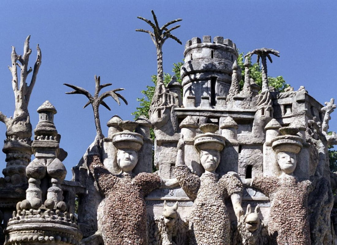
- AddressParking du palais idéal du facteur Cheval
26390 Hauterives - Phone04 75 23 45 3304 75 79 26 26
- Emailporte@dromardeche.fr
- WebsiteSee the website
Our tips
- Details about route marking :
Balisage FFC - Références topographiques :
Bon plan VTT LA Drôme - Map references :
Top 25 ign
Drôme Tourisme cannot be held responsible for any problems encountered along the route.
Any problems encountered can be outlined here:
Author: Conseil Départemental de la Drôme - Apidae Tourisme
To show the map
0M
0M