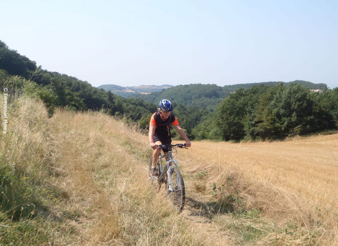
Moutainbike cycling trail N° 9
Ajouter au carnet de voyage
- Distance41,7 km
- Duration4h
- TypeCircular
- DifficultyVery difficult
- Total altitude change+ 860 m
- Departure/arrivalAlbon
- Route markingYes
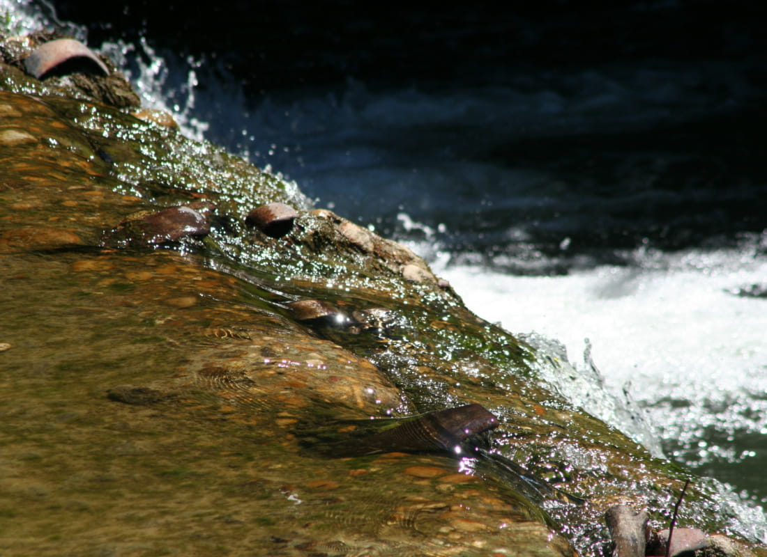
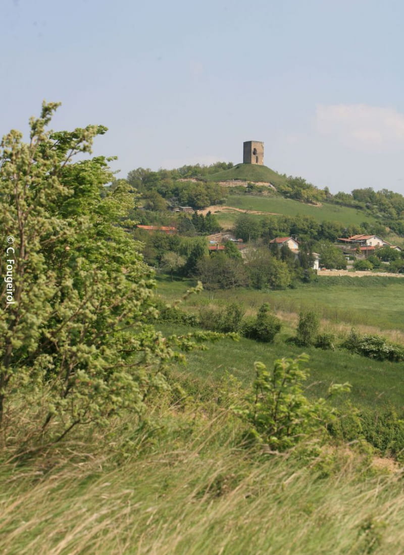
A difficult trail along the banks of the river Galaure. Discover the village of Albon with its Tower overlooking the Rhône Valley and its lovely views.
- AddressStade de Saint Martin des Rosiers
26140 Albon - Phone04 75 23 45 33
- Emailporte@dromardeche.fr
- WebsiteSee the website
Our tips
- Details about route marking :
Plaque avec balise VTT orange et n°9 sur carré.
Drôme Tourisme cannot be held responsible for any problems encountered along the route.
Any problems encountered can be outlined here:
Author: Conseil Départemental de la Drôme - Apidae Tourisme
To show the map
0M
0M