Peylong
Ajouter au carnet de voyage
- Distance5,1 km
- Duration1h56
- TypeCircular
- DifficultyModerate
- Total altitude change+ 191 m
- Departure/arrivalSuze
- Route markingYes
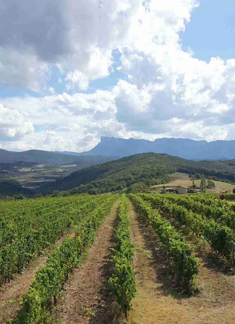
It's the kind of family outing we love: a route through the woods and then up to the ridges, where you'll enjoy numerous views of the Vercors mountains, the Trois Becs and Vachères castle.
- AddressHameau "les Jaux"
26400 Suze - Phone04 75 63 10 88
- Emailotvaldedrome@gmail.com
Our tips
- Details about route marking :
peinture jaune - Références topographiques :
Topo guide FFRP La Vallée Drôme à pied disponible dans les offices de tourisme de la Vallée de la Drôme - Map references :
IGN 3137 OT Die Crest
Drôme Tourisme cannot be held responsible for any problems encountered along the route.
Any problems encountered can be outlined here:
Author: Conseil Départemental de la Drôme - Apidae Tourisme
To show the map
0M
0M