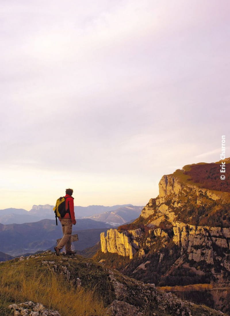
Randonnée sur les crêtes
Ajouter au carnet de voyage
- Distance9,2 km
- Duration3h30
- DifficultyDifficult
- Total altitude change+ 455 m
- Departure/arrivalSaint-Agnan-en-Vercors
- Route markingYes
This itinerary opens the door to the wide open spaces and high plateaux of the Vercors. Between modernism, pastoralism and wild nature, this hike offers a very interesting discovery of high altitude grasslands.
- Address26420 Saint-Agnan-en-Vercors
- Phone04 75 48 22 54
Drôme Tourisme cannot be held responsible for any problems encountered along the route.
Any problems encountered can be outlined here:
Author: Conseil Départemental de la Drôme - Apidae Tourisme
To show the map
0M
0M