Sentier VTT Entre Bois & Ravins - 12

- Distance44,3 km
- Duration4h44
- TypeCircular
- DifficultyVery difficult
- Total altitude change+ 1120 m
- Departure/arrivalTaulignan
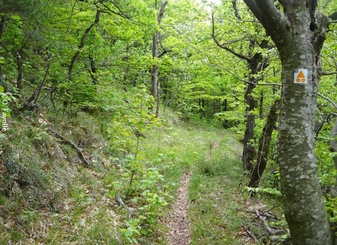
- Route markingYes
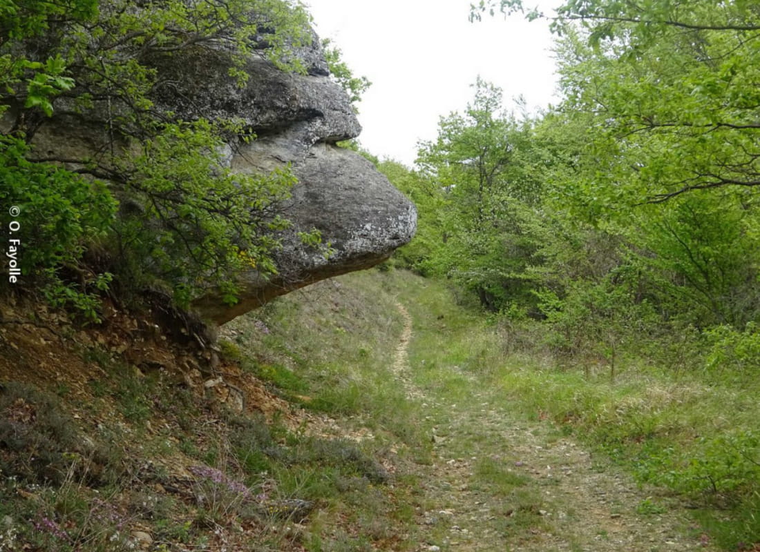
Discovery very sporty between woods and ravines, chapel, monastery ... to Ravine of Charroux and its mythical fountain!
This circuit of very difficult level will lead you by a warm-up, discover the AOC vineyards of Côtes du Rhône, as well as the Monastery "Clarté Notre Dame", the Chapel "St Marcel", the path of the Invasions and an incursion in the medieval village of Taulignan. Then, the difficulties will follow each other with the ravines to climb, technical passages and beautiful single tracks in the undergrowth! Then you will enjoy a beautiful panorama and a splendid "single" balcony to the neck of the Cross, where you will descend the ravine of "Charroux" and its mythical fountain. A choice will be available to you, either go down directly by the ravine, or go back a little, and enjoy a long descent in the woods, while singles!
- AddressParking de la Salle des Fêtes
26770 Taulignan - Phone04 75 46 56 75
- Emailinfo@grignanvalreas-tourisme.com
- WebsiteSee the website
Our tips
- Details about route marking :
Balisage 12 Noir
Niveau très difficile - Difficult stretches :
Trails sometimes very steep because of the proximity of the ravines. - Map references :
Carte IGN 3039 ET et 3038 SB
Drôme Tourisme cannot be held responsible for any problems encountered along the route.
Any problems encountered can be outlined here:
Author: Conseil Départemental de la Drôme - Apidae Tourisme