Serre de Forillon
Ajouter au carnet de voyage
- Distance8,3 km
- Duration2h
- DifficultyModerate
- Total altitude change+ 260 m
- Departure/arrivalLa Bégude-de-Mazenc
- Route markingYes
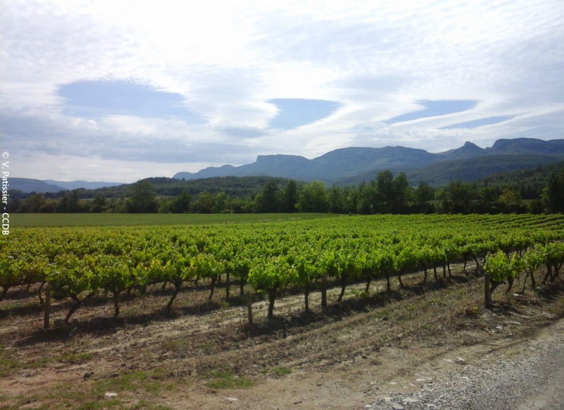
A varied loop above La Bégude, with fine views from the Serre de Forillon lookout. Although relatively easy, some of the climbs are a little steep, requiring a little effort on the part of the walker.
- Address26160 La Bégude-de-Mazenc
Drôme Tourisme cannot be held responsible for any problems encountered along the route.
Any problems encountered can be outlined here:
Author: Conseil Départemental de la Drôme - Apidae Tourisme
To show the map
0M
0M