Siméon's cross
- Distance10,5 km
- Duration3h15
- TypeCircular
- DifficultyModerate
- Total altitude change+ 320 m
- Departure/arrivalAllan
- Route markingYes
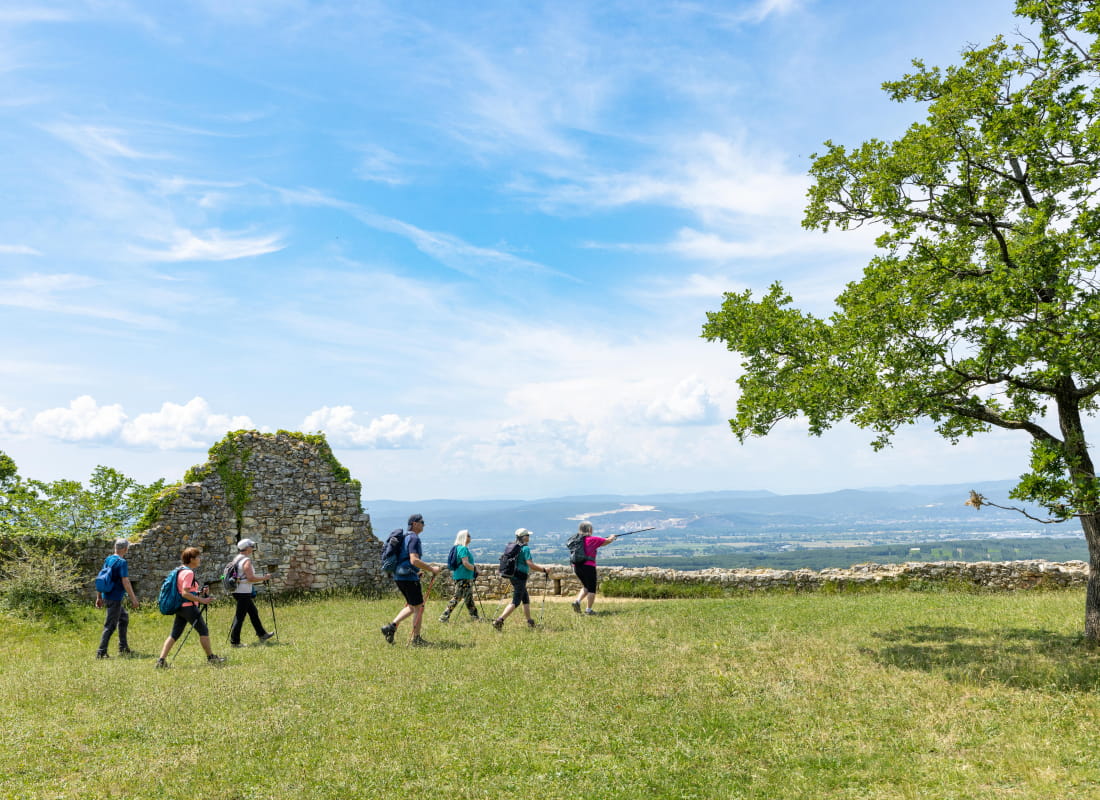
Enjoy the long walk through the woods from the fortified village and explore the southern part of our territory.
Starting point at the school car park located behind the town hall.
Take the path on the right when in front of the school. Reach the Temple square. Walk past it on the right and turn right. Then turn left and walk along the ditch. Keep right to reach Chemin de la Vierge.
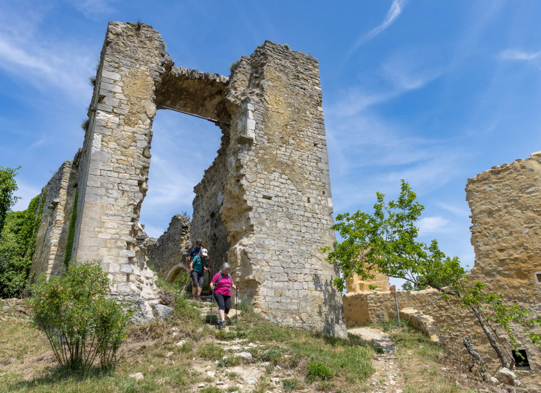
Turn left at the statue and get to Chemin de Maranne. Walk up to the old village and step through the old gate.
Walk down the descending path to the right. Old protestant graveyards on the left and catholic on the right. Walk down the road between houses and turn right at the first junction. Walk on Chemin de Rieux for 1 km. Take the forest path on the right. Turn rigth at the second junction.
Turn right again after the pine woods and the field. Continue straight at the pylon.
Turn left in front of Siméon's cross. Turn right at the Y shaped junction and climb up on the right. Turn right then left at the following junctions.
Walk straight down at the peak (402m) and keep straight at L'échinière pol. Then turn left at the next junction. Turn right at the earth platform.Keep right at the clearing.
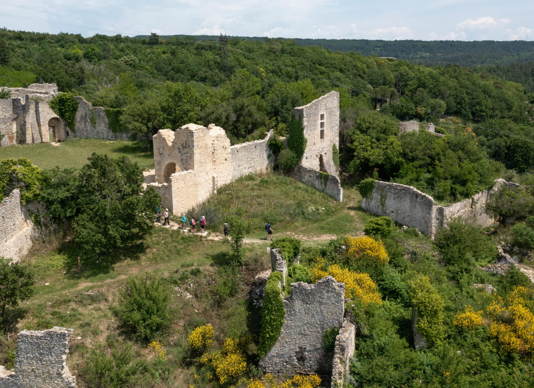
Keep right at Fontvieille pol and enter inside the old medieval town. Get out and go back to the starting point.
- AddressParking de l'école
26780 Allan - Phone04 75 01 00 20
- Emailinfo@montelimar-tourisme.com
- WebsiteSee the website
Drôme Tourisme cannot be held responsible for any problems encountered along the route.
Any problems encountered can be outlined here:
Author: Conseil Départemental de la Drôme - Apidae Tourisme