The Grands Abris
- Distance7,4 km
- Duration3h
- TypeCircular
- DifficultyModerate
- Total altitude change+ 350 m
- Departure/arrivalSauzet
- Route markingYes
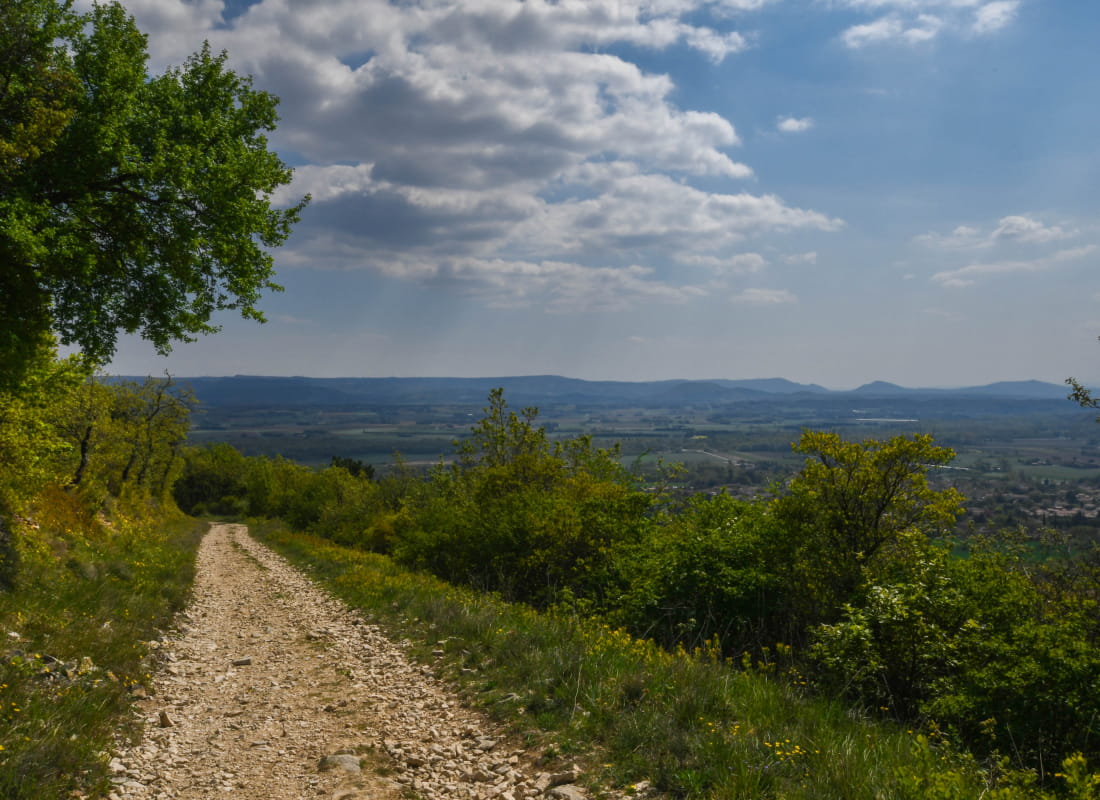
The climb to the top of Ruas rock gives you the feeling to overlook the whole scenery!
Starting point at the post office car park, on La Coucourde road.
Walk on the Allée des Jonquilles and turn right, 500 metres later, on Allée des Lavandes, then on Allée des Chênes.
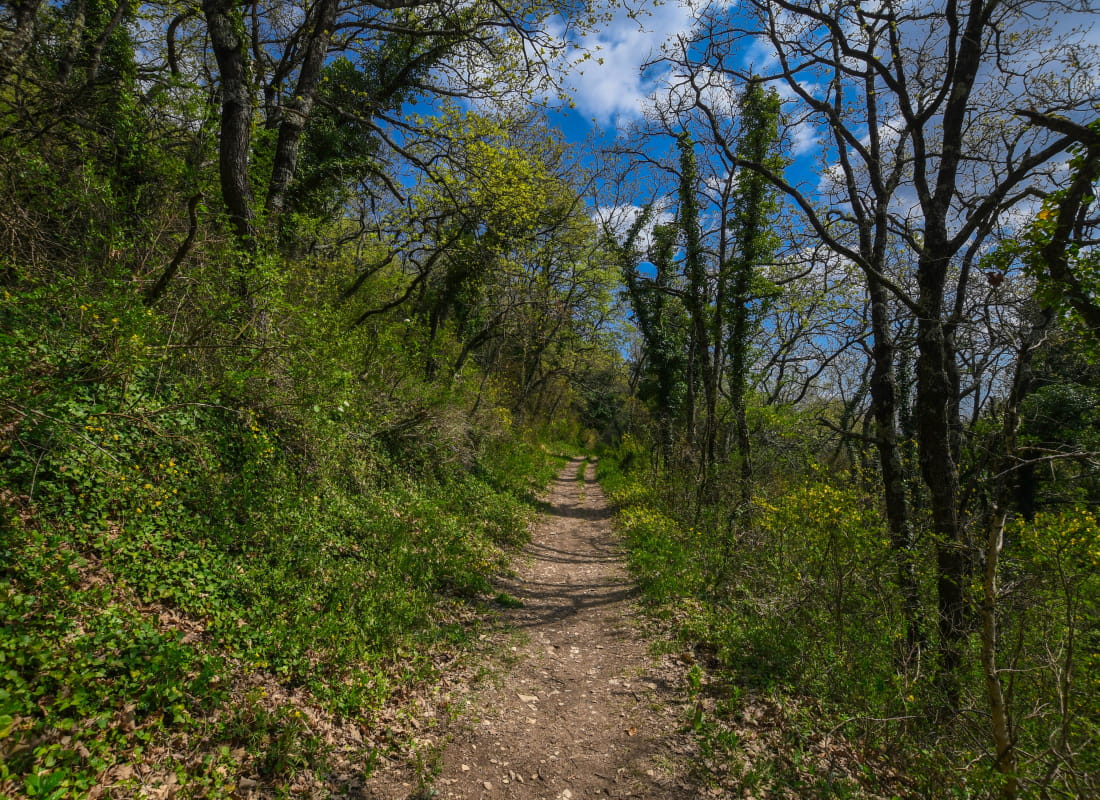
Take the undergrowth path 600 metres later. Turn left on the hill. Take the path 20 m later and continue to climb.
Reach the crest and walk to the left. Walk past two little summits before going down. At the little pass, turn left, later down, to the right.
Take right at the clearing, then left. Follow the town borders (red marks on the trees) and turn right before the summot. Take the left path at the junction.
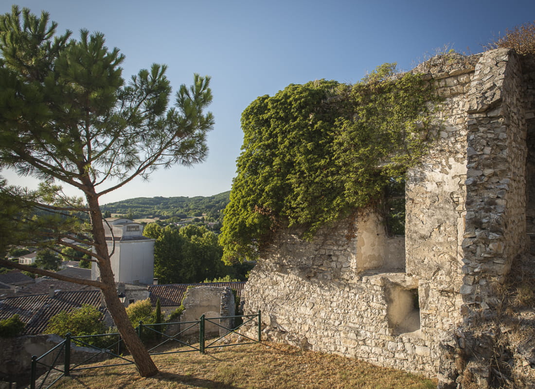
Turn right then left on the small track. Keep straight until you reach Sauzet and go back to the starting point.
- AddressParking de la Poste
26740 Sauzet - Phone04 75 01 00 20
- Emailinfo@montelimar-tourisme.com
- WebsiteSee the website
Drôme Tourisme cannot be held responsible for any problems encountered along the route.
Any problems encountered can be outlined here:
Author: Conseil Départemental de la Drôme - Apidae Tourisme