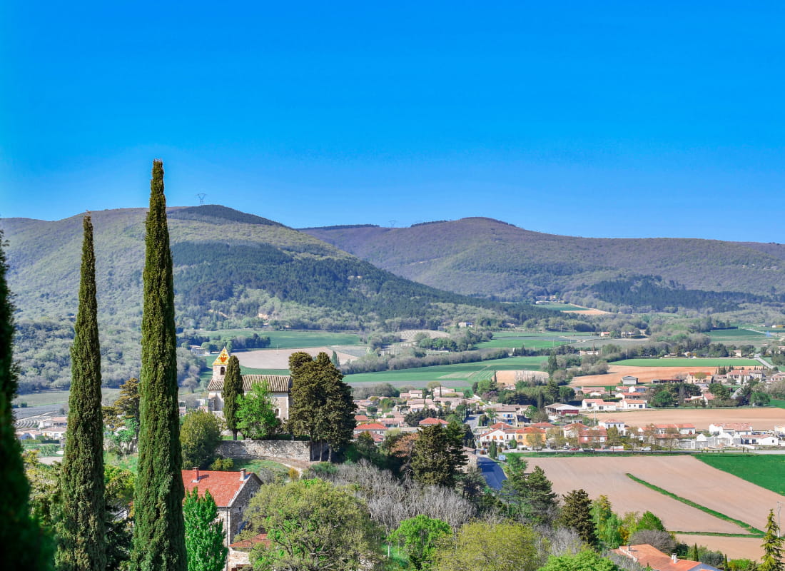
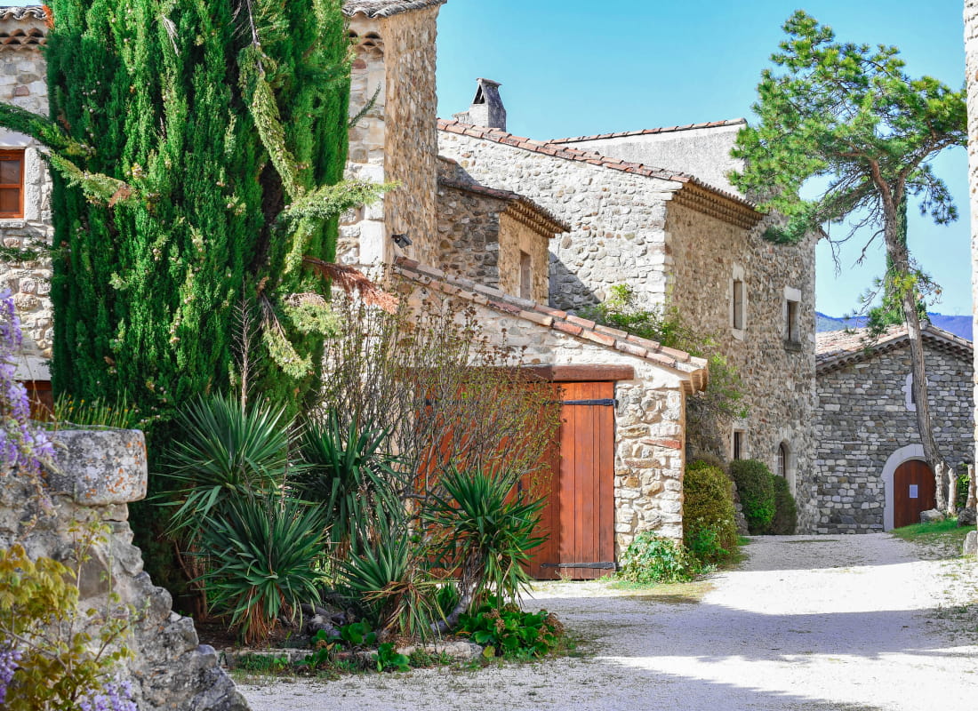
The old village
- Distance2,5 km
- Duration38min
- DifficultyVery easy
- Total altitude change+ 40 m
- Departure/arrivalLa Laupie
- Route markingYes
A little stroll with a lot to see from the Middle Ages to the newly restored buildings.
Walk up the road to the carpark. Take the path between cypress.
Take the path on the rigth at the fortifications and walk to the castle place.
Take the path at the right of the cross. Walk along the hill.
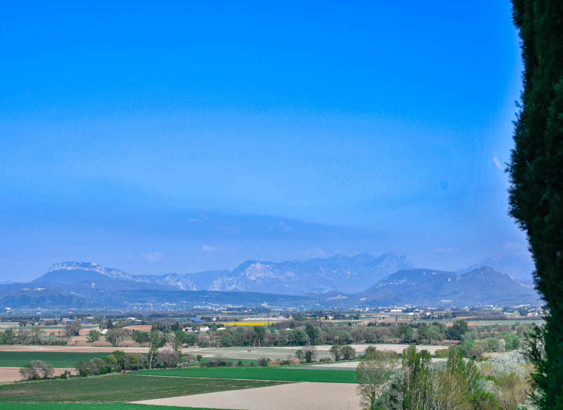
Walk down the Roubion river and have a look at Saint-Jacques chapel (restored in 2011).
Turn left on Rue des Pontaix and walk to the bridge. Continue on the road to the left for 500 metres. Turn left. Take Chemin de Bruissard and have a look at Saint-Michel chapel (12th century) and its belltower with Bourguignon style tiles.
Take Impasse des Orchidées to go back to the carpark.
The village is private, streets included, but it is opened to a respectful walk.
- AddressRoute de la Bâtie
26740 La Laupie - Phone04 75 01 00 20
- Emailinfo@montelimar-tourisme.com
- WebsiteSee the website
Drôme Tourisme cannot be held responsible for any problems encountered along the route.
Any problems encountered can be outlined here:
Author: Conseil Départemental de la Drôme - Apidae Tourisme