Tour de Pays VTT de la Drôme des Collines
- Distance173,3 km
- Duration18h28
- TypeCircular
- DifficultyDifficult
- Total altitude change+ 3280 m
- Departure/arrivalTain-l'Hermitage
- Route markingYes
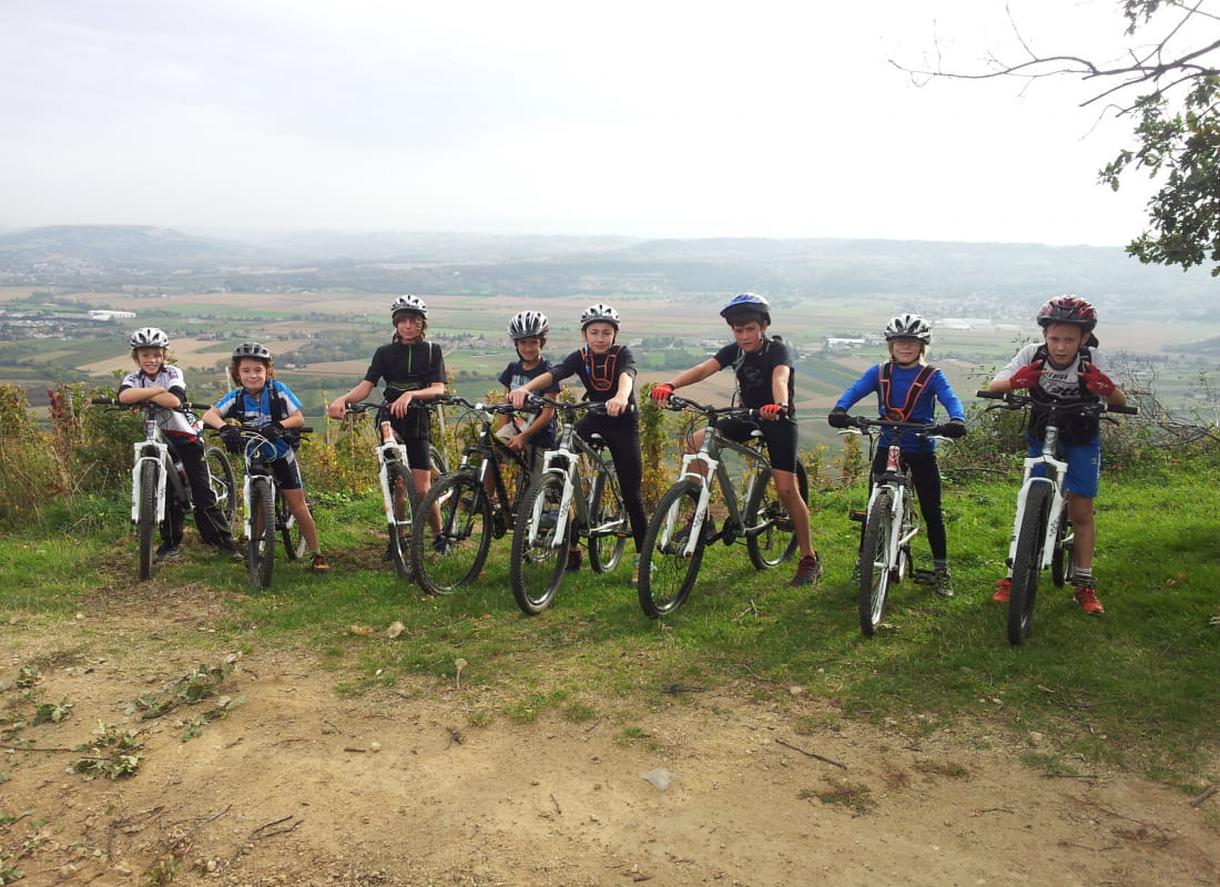
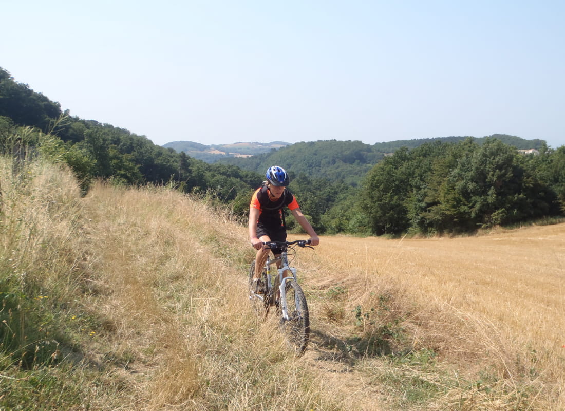
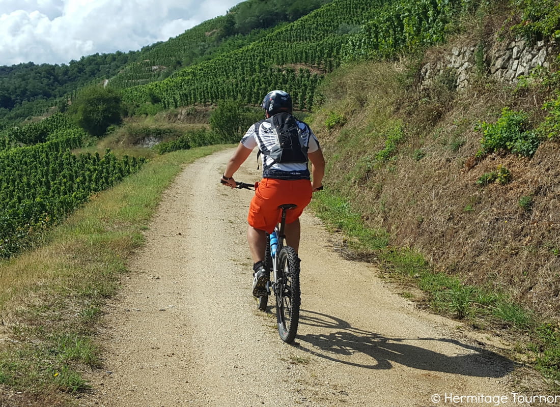
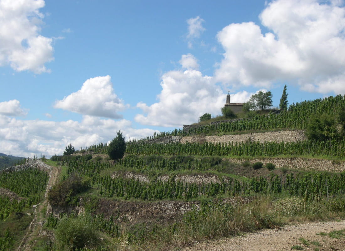
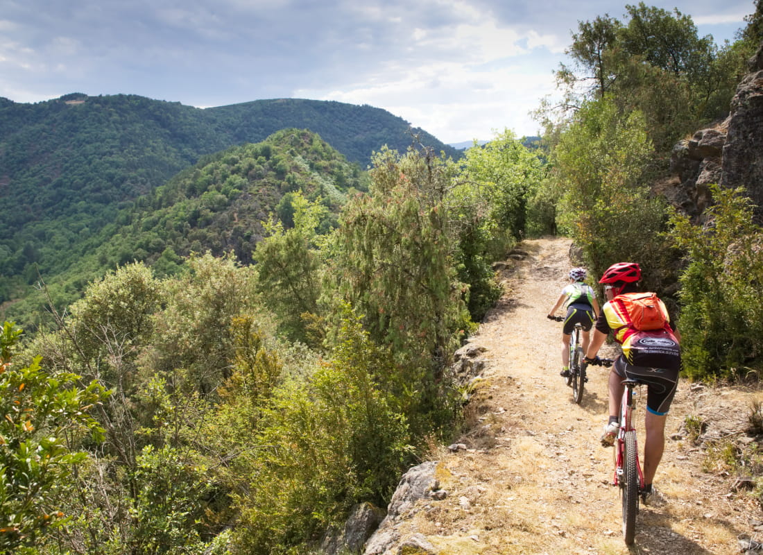
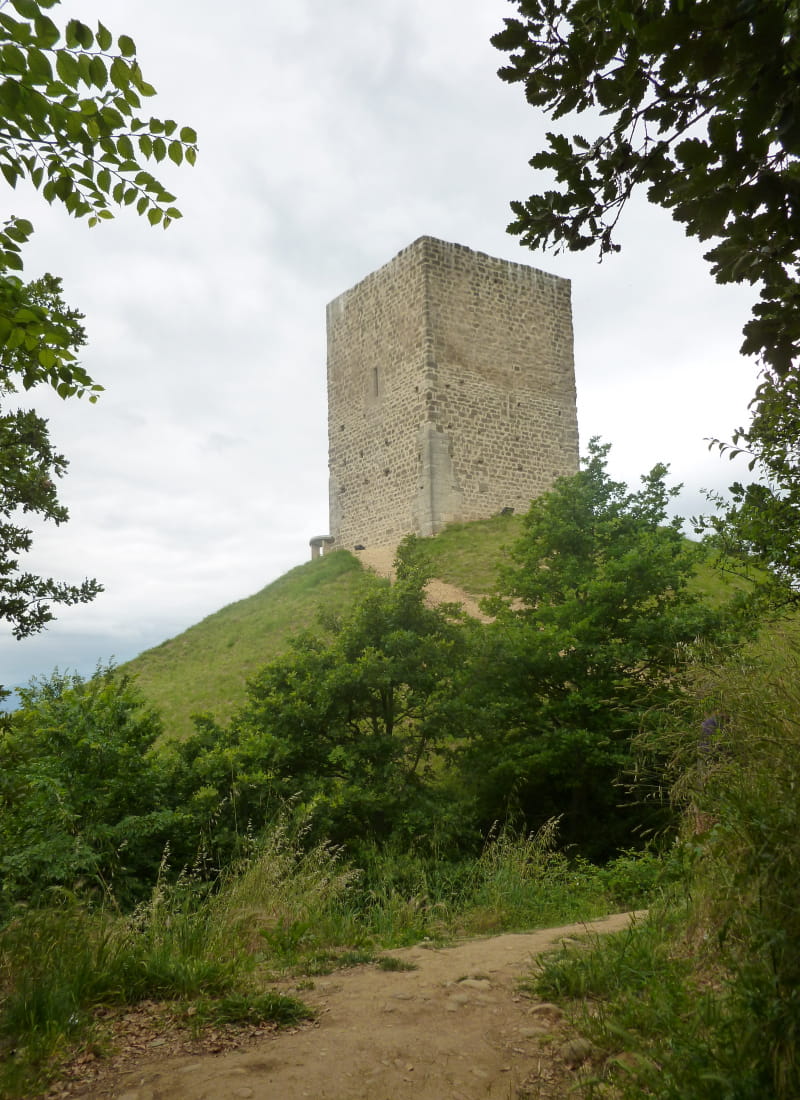
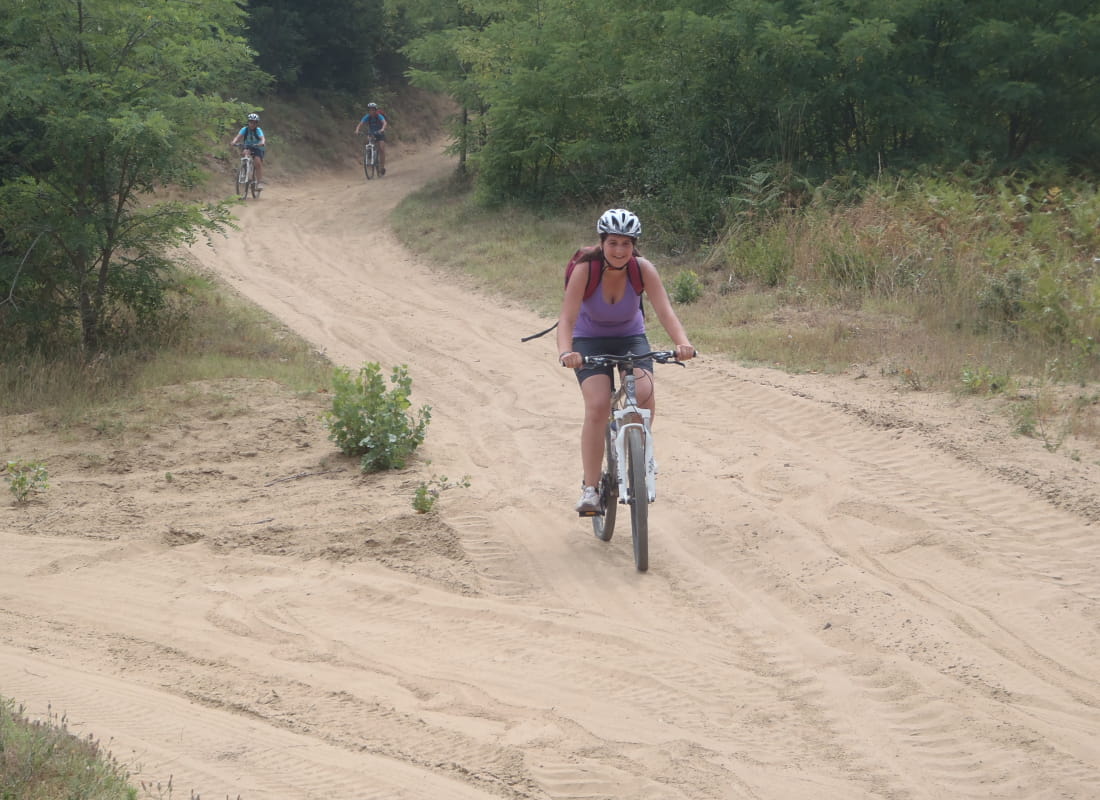
The Tour VTT de la Drôme des Collines is rich in diversity, both in terms of terrain and viewpoints. It is accessible to a wide range of people, even if they are regular mountain bikers.
It is accessible via 8 gateways, the 2 main ones being : Tain l'Hermitage (TER station) and Albon. Its counter-clockwise track is the opposite of that of other routes (except for cycling), and differs in the south-western part.
One MTB stage is equal to 2 stages in the opposite direction for equestrians. Relatively long, this tour can be completed in 4 stages for a regular rider, but the number of stages can be shortened or lengthened according to the rider's level.
Direction: counter-clockwise
Vertical rise +/- : 3695 m
- AddressPlace du 19 mars 1962
26600 Tain-l'Hermitage - Phone06 81 24 84 56
Our tips
- Details about route marking :
Balisage FFC rouge
Drôme Tourisme cannot be held responsible for any problems encountered along the route.
Any problems encountered can be outlined here:
Author: Conseil Départemental de la Drôme - Apidae Tourisme